Coldest day in months hits the Great Lakes and Northeast Saturday, with 25-40 mph gusts and wet snow
Highs stay in the 30s and 40s over the northern Appalachians, wet snow is forecast for the lower Great Lakes and Northeast high elevations today, and frost and freeze concerns expand into the Mid-Atlantic overnight — with a coastal storm to watch next week.
Summarized from USA Today.
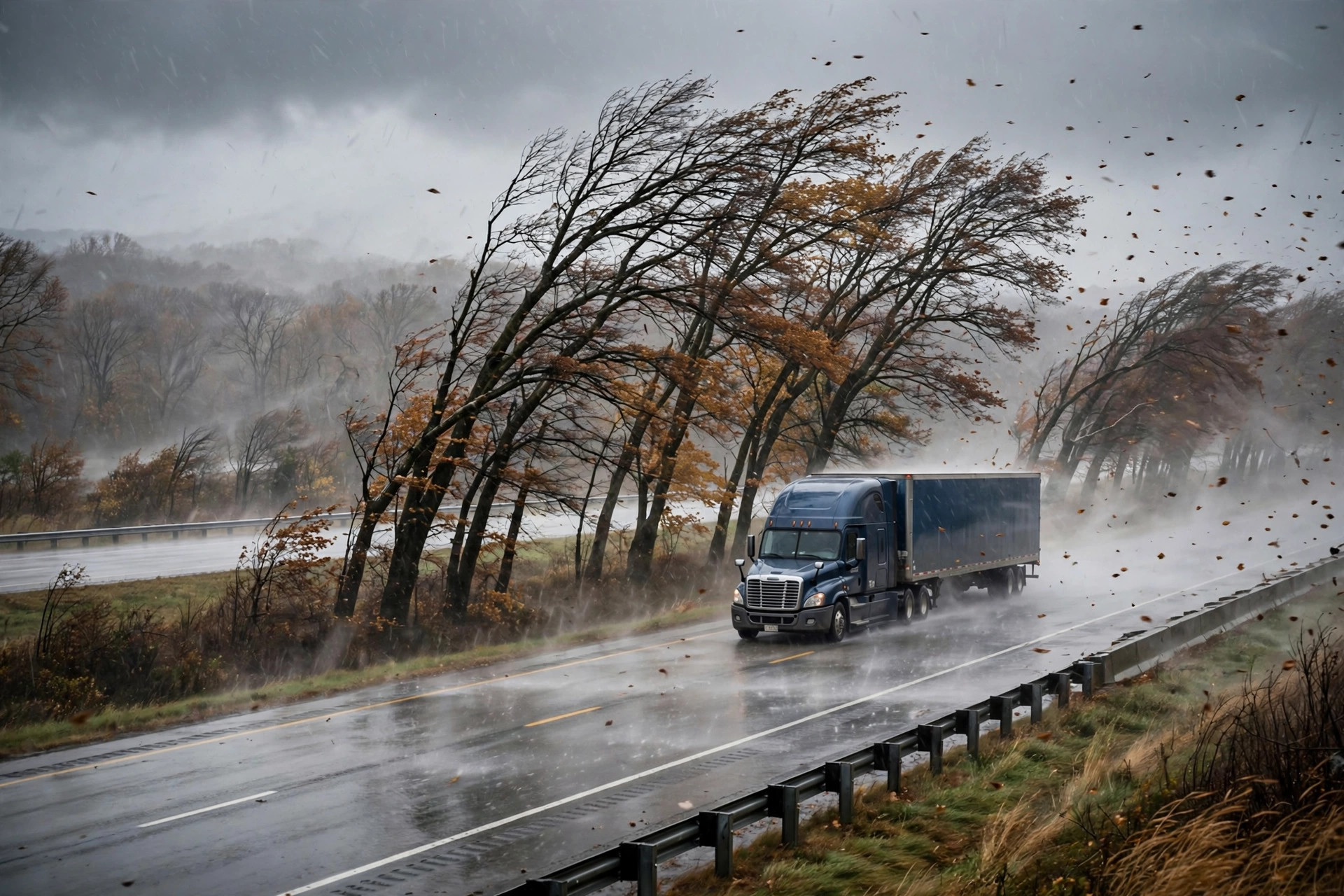
Saturday, Oct. 17, is likely to be the coldest day in months for millions in the Great Lakes and Northeast, with winterlike wind and a transition to wet snow in places, according to USA Today on Oct. 17, summarizing AccuWeather and National Weather Service forecasts.
Actual highs will be in the 30s and 40s over the northern parts of the Appalachians and may struggle to rebound into the 50s in much of the Midwest and the coastal Northeast, with wind chills adding to the cold. "Wind gusts will average 25-40 mph," AccuWeather senior meteorologist Brett Anderson said — strong enough to matter for high-profile and light or empty trailers on exposed interstate stretches.
Colder air wrapping around the system is forecast to support a transition to wet snow across portions of the lower Great Lakes and higher elevations of the Northeast on Oct. 17, according to the National Weather Service. Overnight, frost and freeze concerns expand into portions of the Mid-Atlantic and Northeast, and weekend lows are expected to be colder still, with widespread frost and freeze warnings likely.
Next week's risk is already on the board. A coastal low is expected to develop off the Carolina coast later this weekend and early next week; NOAA's Weather Prediction Center currently puts high wind hazards likely from the North Carolina coast up to the Delaware coast, with rain, wind, rough seas and higher-than-normal tides possibly spreading northward along the Mid-Atlantic and New England coasts later in the week. The chance of the system developing tropical or subtropical characteristics between Monday, Oct. 19, and Thursday, Oct. 22, remains low; if it were named, it would be called Josephine.
Drivers running the Northeast and Great Lakes this weekend should secure light loads for the gusts, expect wet-snow slick spots at elevation today, and check state 511 reports before crossing the higher passes.
Sources
Related coverage
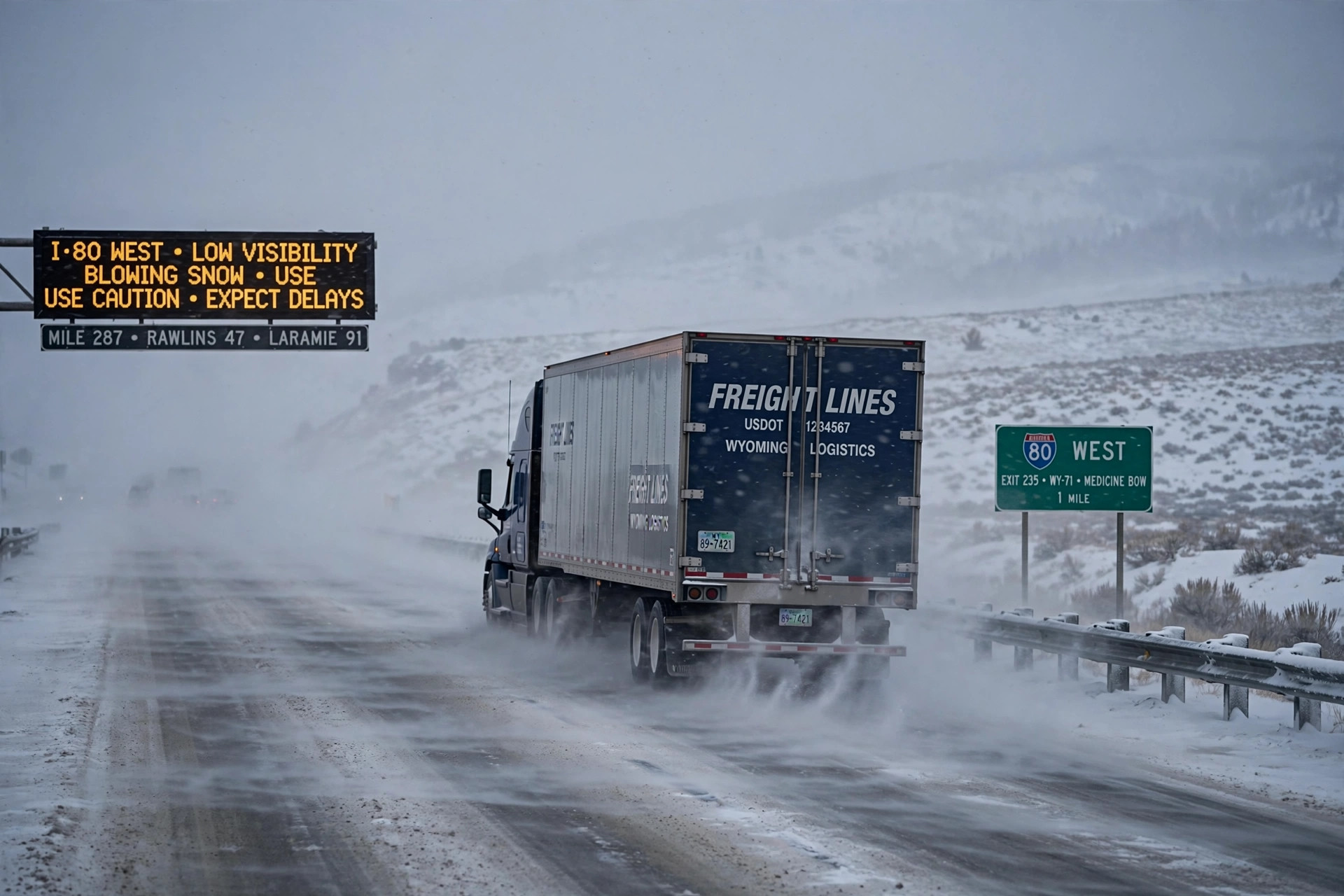 October 15, 2026 · Weather and roadsSeason's first winter storm brings snow and 45 mph gusts to I-80 in Wyoming and Colorado's high passes
 September 27, 2026 · Weather and roadsHeavy rain threatens 18 states this week
Comments
Loading comments…