Hurricane Isaias takes aim at the Gulf Coast: landfall expected Friday as a dangerous hurricane
The first hurricane of the 2026 season could peak near 110 mph before striking between Mississippi and Florida — with life-threatening surge, flooding rain, and pressure on already-high pump prices.
Summarized from USA Today.
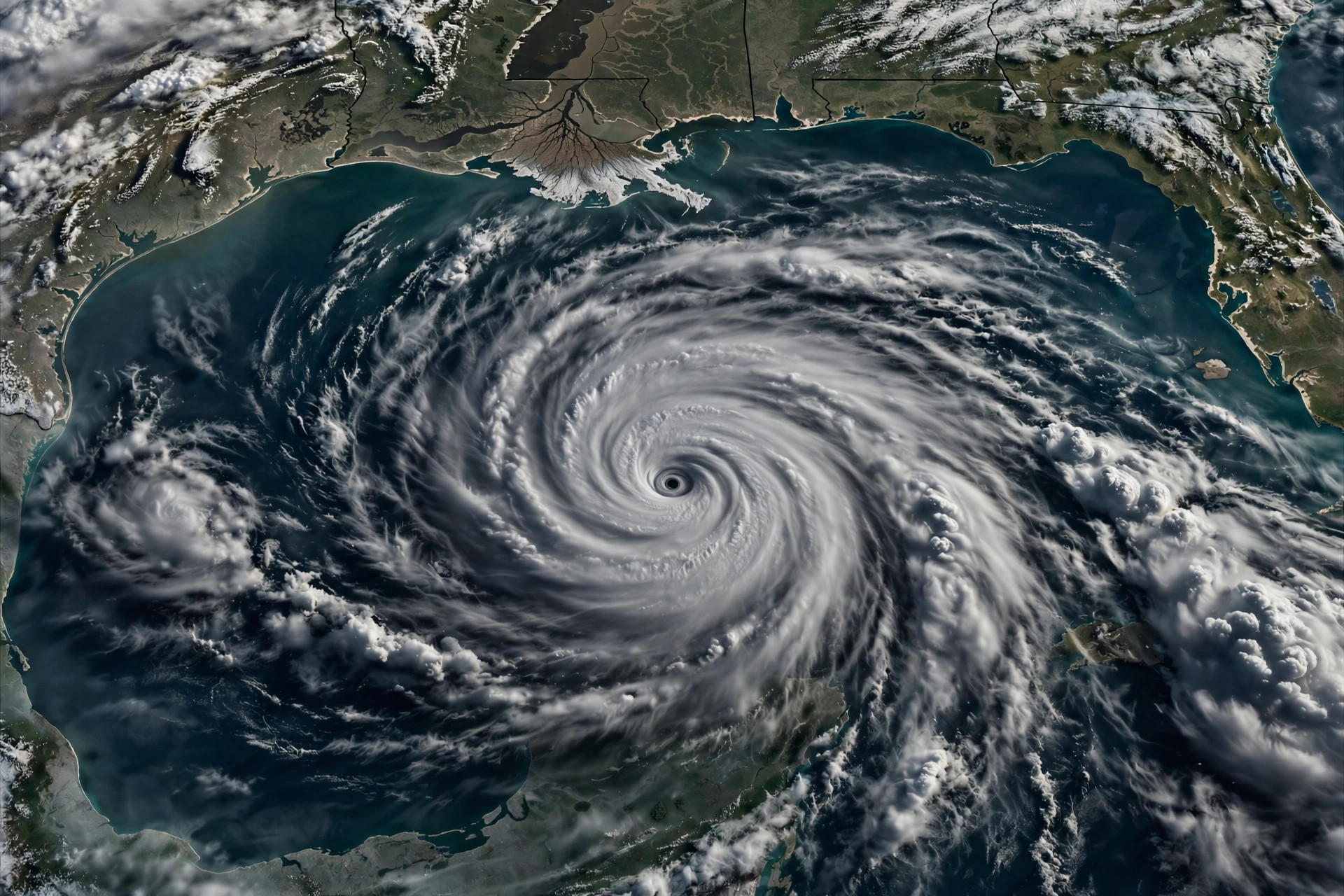
Hurricane Isaias is trekking toward the U.S. Gulf Coast, with landfall expected Friday evening as a dangerous hurricane bringing life-threatening storm surge, damaging winds, and flooding rain, according to USA Today on Oct. 8, which is tracking the storm with live updates.
Isaias became a hurricane at 11:30 p.m. ET Wednesday with maximum sustained winds of 75 mph — less than 20 hours after becoming a tropical storm, the National Hurricane Center announced. It is the first hurricane of the 2026 Atlantic season and would be the first to strike the United States since Hurricane Milton in 2024.
As of 5 a.m. ET Thursday, the storm was 420 miles south-southwest of the mouth of the Mississippi River, moving east-northeast at 9 mph with 80 mph winds — a Category 1 storm. The hurricane center expects a period of rapid strengthening, forecasting a Category 2 peak with winds of about 110 mph Friday morning, just shy of major-hurricane status, before landfall somewhere between Pascagoula, Mississippi, and Panama City Beach, Florida, on Friday evening. AccuWeather's chief meteorologist says there is a chance it peaks as a Category 3 while over the central Gulf.
Hurricane warnings are in effect from Ocean Springs, Mississippi, to the Bay/Gulf County line in Florida, with surge, flooding, and high-wind watches and warnings stretching more than 400 miles of coast from southeastern Louisiana to the Florida coast south of Tallahassee. The National Weather Service office in Mobile said Wednesday it is looking more likely that Isaias will be a "SIGNIFICANT hurricane" at the coastline, and that now is the time to prepare: fill up or charge vehicles, stock a preparedness kit, and check on neighbors.
Drivers should also watch fuel prices: the storm is forecast to pass through areas with significant Gulf offshore oil and gas production plus onshore refining. A model from consulting firm Earth Science Associates estimates about 11.2 million barrels of Gulf oil production could be lost through the storm's duration — a marked increase from the 7.1 million barrels impacted by Tropical Storm Bertha in July — which could pressure inventories and already-high prices at the pump.
Source: USA Today
Sources
Related coverage
 October 2, 2026 · StormsDashcam: semi jackknifes across an Omaha interstate as Hurricane Polo's rains slam Nebraska
 September 30, 2026 · StormsMonsoon flooding sweeps truck into Phoenix wash, disrupts I-17 and SR-238
Comments
Loading comments…