Isaias came ashore near Destin as a Category 2; 450,000-plus without power as the Panhandle assesses damage
The feared Category 3 never materialized — wind shear held Isaias to 105 mph at landfall — but 117 mph gusts, a possible record surge, and widespread outages are complicating the Saturday recovery.
Summarized from Pensacola News Journal.
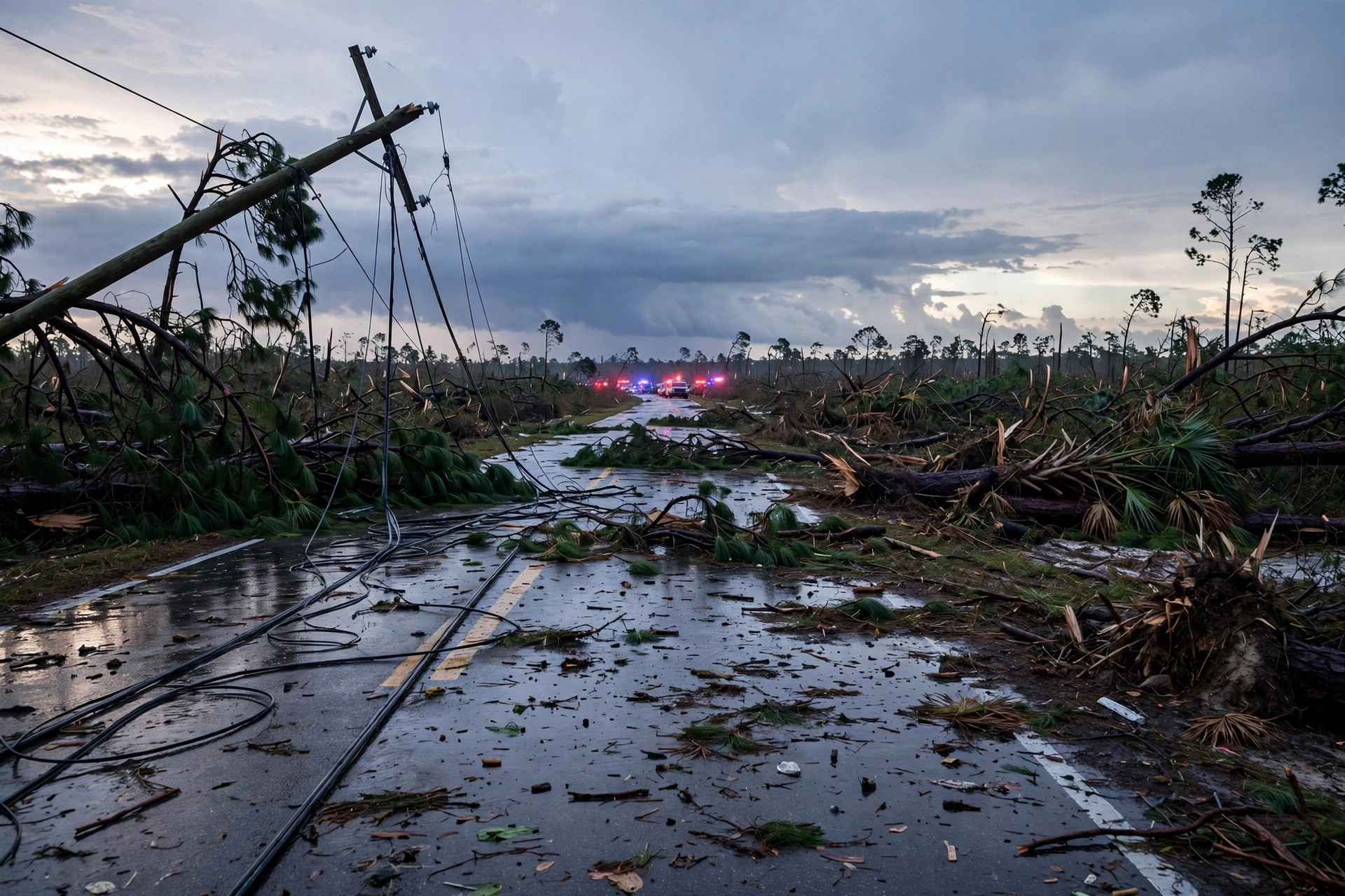
Hurricane Isaias made landfall at about 8:30 p.m. CT Friday near Destin, Florida, as a Category 2 hurricane with 105 mph winds — one step below the major-hurricane threat forecasters warned about all day — and was downgraded overnight to a post-tropical cyclone with winds of 35 mph, according to the Pensacola News Journal on Oct. 10.
The National Hurricane Center issued its final advisory at 4 a.m. CT Saturday, dropping all watches and warnings. By then the storm was about 40 miles south-southwest of Montgomery, Alabama, moving north at 14 mph, still carrying a flash-flood risk. More than 450,000 power outages were left behind in Florida, the bulk of them in five Panhandle counties. As of 6 a.m., 127,246 of 168,860 Florida Power and Light customers in Escambia County were without power, along with 79,326 of 86,320 in Santa Rosa County and 49,370 in Okaloosa County, where Isaias came ashore.
The wind field surprised forecasters. The National Weather Service in Mobile said some of the strongest gusts hit "surprisingly far" west of the storm's center: 117 mph on Santa Rosa Island and 114 mph at Whiting Field near Milton, with "SIGNIFICANT wind damage" reported from Pensacola northward into Conecuh and Wilcox Counties in Alabama. Escambia County crews began "cut and toss" tree clearing with priority on routes to hospitals, while the city of Pensacola urged residents to stay off roadways amid downed trees and power lines. The Gen. Daniel "Chappie" James Jr. Memorial Bridge — the Three Mile Bridge — reopened shortly after 5 a.m. Saturday, according to the Pensacola Police Department.
The Palm Beach Post reported Oct. 10 that screaming wind shear of 35 to 46 mph is what kept Isaias from the Category 3 peak forecasters feared — even though an Air Force hurricane hunter found surface-equivalent winds of about 130 mph, a Category 4 reading, late Friday afternoon. A Panama City Beach water-level gauge measured 5.59 feet above mean higher high water, a possible record topping the surge from 1995's Hurricane Opal. Up to a foot of rain fell between Pensacola and Santa Rosa Beach. The storm is not done with the Southeast: about 4.8 million people from Tallahassee to Charleston, South Carolina, sit in a "slight" tornado risk Saturday, with a rare "high" excessive-rainfall risk in the crook of the Big Bend.
Statewide, the response is now the story. Lt. Gov. Jay Collins said about 900,000 people evacuated ahead of landfall and told Fox News the storm "hit like a freight train" — though he reported no catastrophic damage so far, calling it not "a Michael-like event," according to the New York Post on Oct. 10. PowerOutage.US counted 429,773 Floridians without power as of 7 a.m. Saturday; more than 5,000 National Guard troops plus 400 state guard were on standby, with more than 6,000 utility vehicles and personnel staged for restoration.
For drivers running relief loads, the paperwork is already eased: Alabama Gov. Kay Ivey's Oct. 7 state-of-emergency proclamation for 40 counties provides hours-of-service relief under 49 CFR 390.23 for drivers giving direct assistance, and lets ALDOT and the Alabama Law Enforcement Agency issue weight and size waivers for emergency equipment, supplies, storm debris, and construction materials, according to the Alabama Trucking Association. Route approval is required, bridge weight limits still apply, insurance requirements stay in effect, and carriers under an out-of-service order are not eligible.
Sources
Related coverage
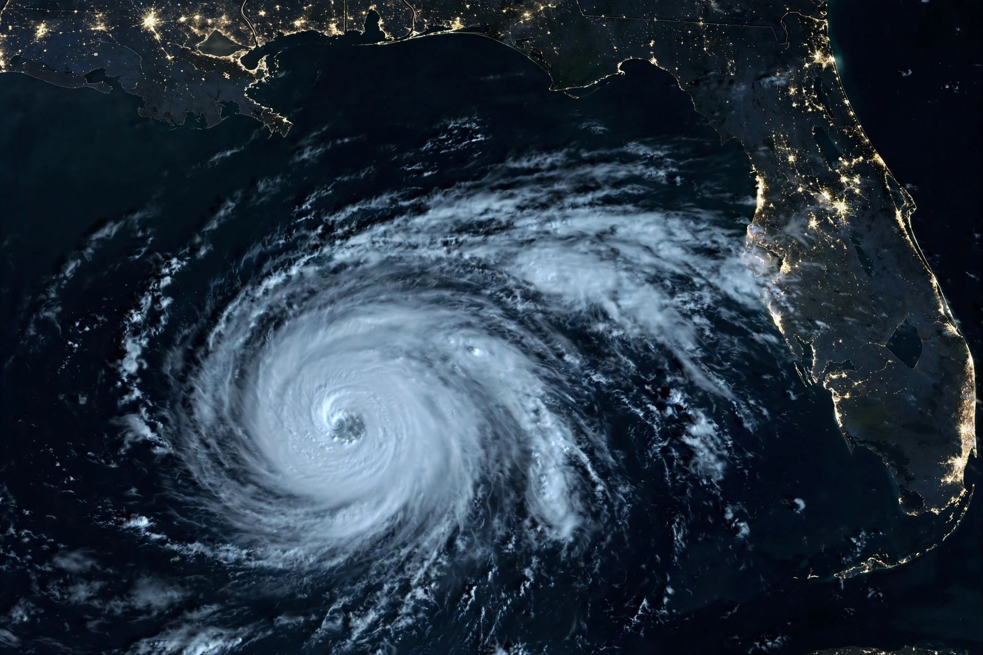 October 9, 2026 · StormsIsaias to brush Category 3 today, then landfall tonight between Mobile and Destin as a dangerous hurricane
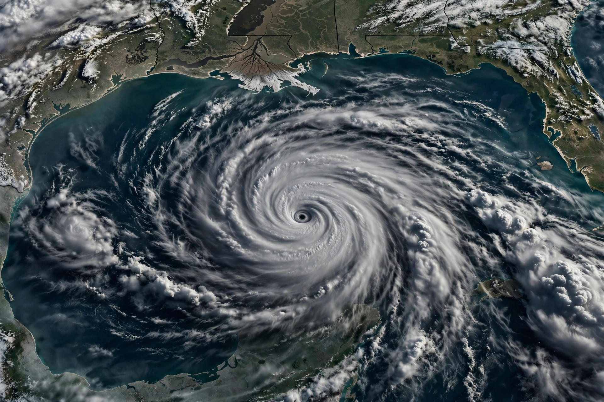 October 8, 2026 · StormsHurricane Isaias takes aim at the Gulf Coast: landfall expected Friday as a dangerous hurricane
 October 2, 2026 · StormsDashcam: semi jackknifes across an Omaha interstate as Hurricane Polo's rains slam Nebraska
Comments
Loading comments…