Nor'easter takes shape off the Carolinas: gusts over 60 mph, a coastal flood warning and NC-12 overwash risk into Tuesday
The National Weather Service has a coastal flood warning up for Hatteras Island through Tuesday afternoon — 2 to 4 feet of inundation, with vulnerable sections of NC-12 at risk around high tide — while forecasters see gusts over 60 mph on the Outer Banks by Monday and 40 to 50 mph winds reaching toward the I-95 corridor.
Summarized from CNN.

A nor'easter developing off the North Carolina coast this weekend will bring days of strong wind, coastal flooding and road overwash risk to the Mid-Atlantic, according to CNN on Oct. 17, summarizing National Weather Service forecasts and warnings.
The warning that matters most for drivers is already posted. The National Weather Service office in Newport/Morehead City issued a coastal flood warning for Hatteras Island on Oct. 17, in effect until 5 p.m. EDT on Tuesday, Oct. 20, calling for 2 to 4 feet of inundation above ground level in low-lying areas near shorelines and tidal waterways. The service said numerous road closures and flooding of vehicles will be possible, that vulnerable portions of NC-12 may be inundated especially around high tide, and that there is a possibility of being stranded on Hatteras Island for multiple days. A high surf advisory with large breaking waves of 8 to 14 feet runs alongside the flood warning, and the service told travelers to prepare for disruptions to ferries lasting into at least part of next week.
Wind is the most widespread threat. Gusts up to 50 mph were possible for the Outer Banks on Saturday as a cold front moved through, and forecasters expect gusts up to 60 mph in parts of the Outer Banks by Sunday afternoon as the low develops off the coast, with gusts approaching 50 mph farther inland in North Carolina and up into coastal Virginia and Maryland — strong enough to bring down trees and power lines and cause outages, and a serious crosswind risk for high-profile and light or empty trailers.
The peak comes Monday. The storm is expected to be more organized by Monday afternoon, when gusts of more than 60 mph are possible in parts of the Outer Banks, with 40 to 50 mph gusts creeping toward the Interstate 95 corridor in North Carolina and southern Virginia and gusts to 30 mph in parts of coastal Delaware and New Jersey. Similarly strong winds are possible on Tuesday, easing only slightly by Wednesday or Thursday, and how long they last depends on how long the storm meanders near the Carolinas.
Flooding follows the tide clock. At least minor coastal flooding could start as early as Sunday morning's high tide in parts of the Outer Banks and up through the Chesapeake Bay, rising to moderate flooding by Sunday afternoon especially around the Virginia-North Carolina border, with further moderate flooding likely during Monday's high tides and a similar rhythm continuing through at least midweek; some spots could see major flooding depending on exactly how close the storm hugs the coast. The storm will not be a tropical system when it forms, though the National Hurricane Center forecasts a 20% chance of subtropical development over the next seven days.
Drivers running the coastal Carolinas and Virginia this week should check North Carolina road reports before attempting NC-12, secure light loads for the gusts, and follow the weather service's standing instruction for this warning: do not drive around barricades or through water of unknown depth.
Sources
Related coverage
 October 17, 2026 · Weather and roadsColdest day in months hits the Great Lakes and Northeast Saturday, with 25-40 mph gusts and wet snow
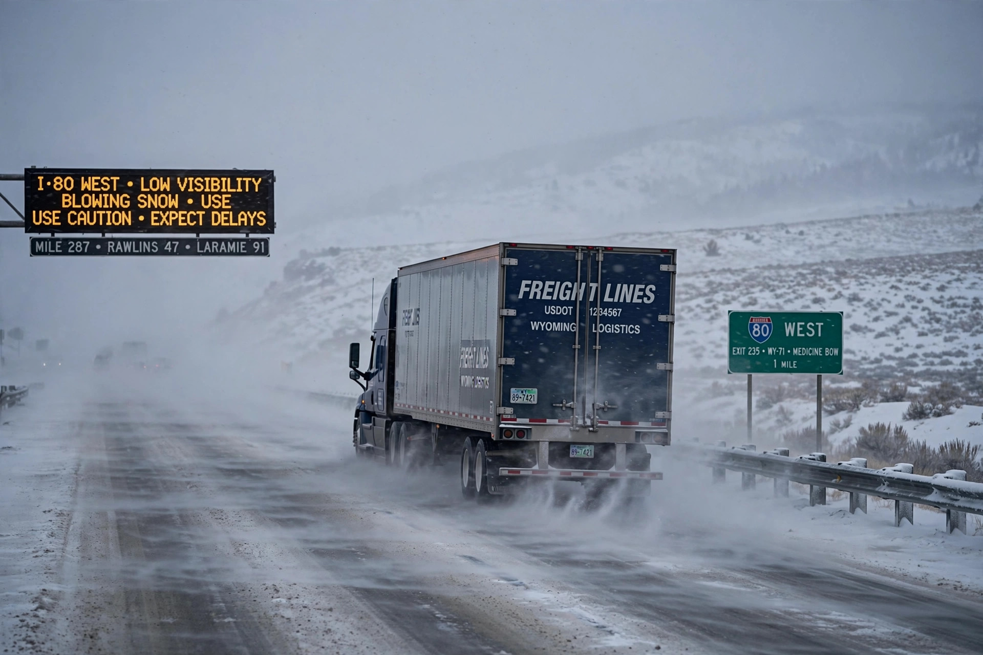 October 15, 2026 · Weather and roadsSeason's first winter storm brings snow and 45 mph gusts to I-80 in Wyoming and Colorado's high passes
 September 27, 2026 · Weather and roadsHeavy rain threatens 18 states this week
Comments
Loading comments…