The Sierra's midweek storm roughly doubles overnight: 90% to 100% odds of at least 24 inches above 5,000 feet
I-80 over Donner is unrestricted this morning and the weekend advisory runs Sunday afternoon through Monday — but the Weather Service now puts around 90% to 100% probabilities on at least 24 inches above 5,000 feet from late Tuesday through Thursday, with snow levels down to 4,000 feet and significant impacts expected early Wednesday through early Friday.
Summarized from National Weather Service.
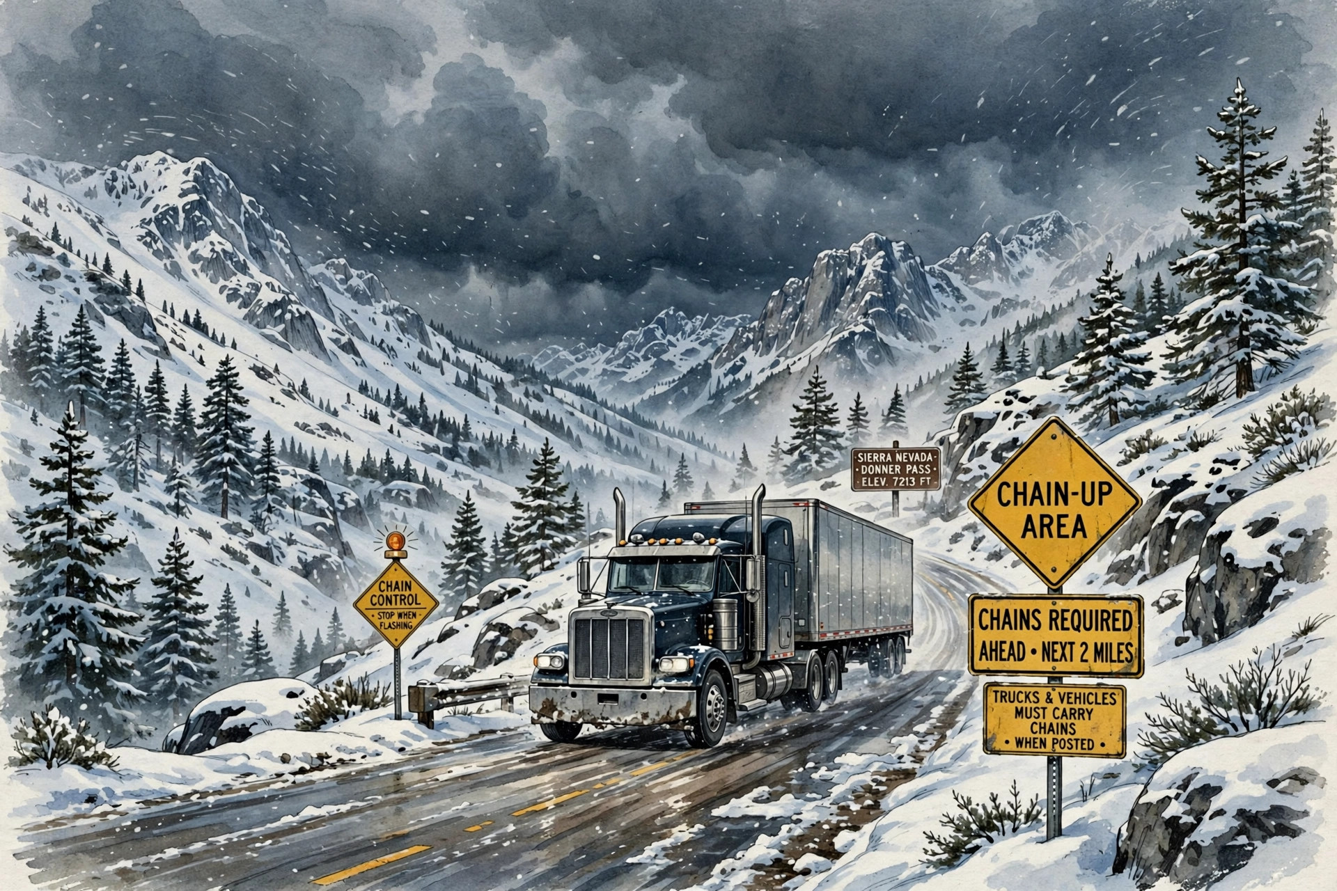
Image: Illustration: AI-generated by CDLWire
The Sierra storm that closes out the weekend is not the one drivers should plan the week around: confidence is now high in a colder, wetter system arriving Tuesday night that could put at least 24 inches of snow above 5,000 feet, according to the National Weather Service on Nov. 15 — roughly double the midweek amounts forecast only a day earlier, with snow levels low enough to reach passes the last storm spared.
The overnight escalation comes from the Weather Service's Sacramento office, in its Area Forecast Discussion issued at 1:13 a.m. Pacific on Sunday, Nov. 15. The office says dry weather returns by early Tuesday morning behind the weekend system, and that after that brief lull, confidence is now high in a colder, wetter system arriving Tuesday night bringing widespread rain, gusty southerly winds and heavy mountain snow. Latest forecast runs have increased even more for rainfall totals and snow totals across interior Northern California, the discussion says: current model probabilities of at least 24 inches of snow above 5,000 feet are around 90% to 100% from late Tuesday night through Thursday night, with a 50% to 90% chance of seeing 3 feet of snow.
Those probabilities are the material change. On Saturday afternoon, the same office's discussion carried midweek probabilities of 70% to 100% for at least 12 inches above 5,000 feet and 40% to 70% for 2 feet — already a serious storm. Overnight, the at-least-24-inches probability rose to around 90% to 100%, and a 3-foot outcome moved into a 50% to 90% range. The Weather Prediction Center's discussion issued at 3:01 a.m. Eastern on Nov. 15 adds the northern angle: the next system begins bringing precipitation inland across Northern California early Wednesday, snow levels start around 4,000 to 4,500 feet and could lower to around 3,500 feet within heavier snowfall rates in Northern California, allowing potential snowfall impacts at major mountain passes along Interstate 5, with 24-hour snowfall probabilities by Wednesday morning already high, at 60% to 90%, across the Shasta Siskiyou.
Sacramento's discussion stresses why the lower snow levels matter. Accumulating snow is expected above 4,000 feet and potentially even lower, and heavy snow amounts extending into lower elevations than the previous storm have the potential to bring significant travel impacts over a broad extent of mountain roads early Wednesday through early Friday. Rain comes with it: valley and foothill probabilities are around 80% to 100% for at least 1 inch of rain and 35% to 75% for at least 2 inches, thunderstorms are possible, and gusty southerly winds from late Tuesday night through Thursday carry a 55% to 95% probability of gusts reaching at least 35 mph on Wednesday and a 35% to 75% probability of 45 mph, with the potential for downed trees and local power outages.
None of that cancels the storm already in progress. The weekend system arrives today, with a Winter Weather Advisory in effect from 4 p.m. Sunday through 10 p.m. Monday for the Sierra and Lassen Volcanic National Park above 6,000 feet. Sacramento now expects total snowfall of 2 to 7 inches above 6,000 feet — raised from the 2 to 6 inches in the advisory as first issued — with up to 16 inches at and near Lassen Volcanic National Park, raised from 14 inches. Snow levels start around 6,500 to 7,500 feet Sunday and drop to around 5,000 to 6,000 feet Monday, the heaviest snow is expected late Sunday night through Monday morning, and the office warns of slippery roads, reduced visibility, possible mountain travel delays and chain controls. The Weather Prediction Center puts moderate-to-high chances, at 50% to 80%, on snowfall totals over 6 inches along Interstate 80 near Donner Pass, and low-to-moderate chances, at 20% to 40%, along U.S. Highway 50 near Phillips and Twin Bridges.
There is a clear window before any of it. Caltrans' highway report for Interstate 80 as of 5:01 a.m. Pacific on Sunday, Nov. 15, reports no traffic restrictions in the Sierra Nevada — the westbound closure to tractor-semitrailer combinations that Caltrans carried on Saturday afternoon, from the Nevada state line to 4.7 miles west of Kingvale, is no longer in the report. East of the Sierra, the Weather Prediction Center expects the weekend river to work inland Sunday night, with high chances, over 70%, for over 6 inches in the southern Wasatch and the Bitterroots by Tuesday.
The practical takeaway is a two-deadline plan. Cross Donner, U.S. 50 and the northern Sierra passes in the unrestricted window this morning if you can, or plan for chain controls and delays from Sunday afternoon through Monday night under the advisory. Then treat Tuesday as the hard reset: a system with around 90% to 100% model probabilities for at least 24 inches above 5,000 feet, snow levels down to 4,000 feet or lower, and impacts the Weather Service expects across a broad extent of mountain roads from early Wednesday through early Friday — including, on the Weather Prediction Center's Day 3 outlook, possible impacts at Interstate 5 passes — is not a storm to meet halfway up the grade. Stage low, chain early, and check Caltrans and the Sacramento forecast again before Tuesday night, because the overnight trend in this forecast was sharply upward.
Sources
Related coverage
 November 14, 2026 · Road conditionsI-80 westbound closed to semis over Donner Summit — and a new Sierra advisory runs Sunday into Monday
 November 14, 2026 · Road conditionsWolf Creek Pass reopens for the weekend, then closes again Monday for paving
 October 24, 2026 · Road conditionsI-285 is fully closed in southwest Atlanta all weekend — GDOT asks truckers to take the detour this time
Comments
Loading comments…