U.S. 160 through Pagosa Springs reopened Tuesday — but the corridor is still closed from mile marker 121 to 139 with no reopening date, and Wolf Creek Pass stays shut
CDOT is prioritizing Highway 84 south — 'the only way out for Pagosa Springs at this time' — while most mandatory evacuations in town were lifted Tuesday afternoon. The reopening serves the town; through freight still has no U.S. 160 route in either direction.
Summarized from Tri-City Record.
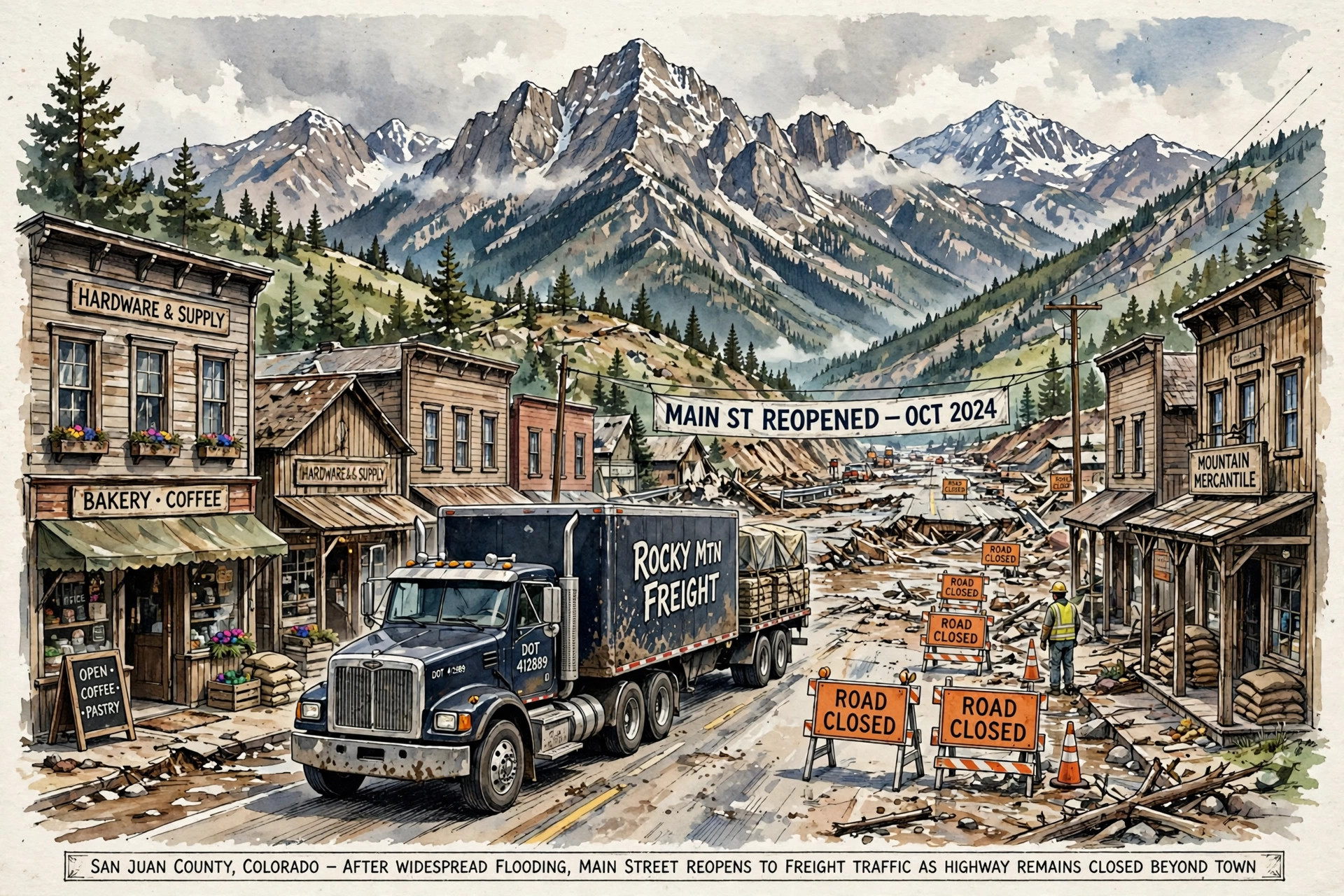
Image: Illustration: AI-generated by CDLWire
Pagosa Springs can be driven through again. It still cannot be driven through to anywhere. U.S. Highway 160 through Pagosa Springs reopened Tuesday, according to the Tri-City Record on Nov. 3, but the Colorado Department of Transportation’s closure west of town runs from mile marker 121 to mile marker 139, including the Piedra River bridge, with no estimated reopening date — and U.S. 160 over Wolf Creek Pass, east of town, also remained closed. The town segment opening is real progress for the people who live there. For a through truck, the corridor is exactly as broken as it was on Monday.
CDOT spokeswoman Adair Christensen put the department’s priorities in order, and freight is not first in line because it cannot be. “Most of the damage we’re seeing on those extended closures is significant and it’s going to be a while before we can get repairs there,” Christensen said. “Right now, we’re prioritizing Highway 84 and keeping that open because that’s the only way out for Pagosa Springs at this time.” Highway 84 is the rural route south toward New Mexico that has been the town’s one open door since the weekend flooding, and CDOT is now saying plainly that keeping that lifeline open outranks reopening the segments of U.S. 160 that need structural work.
The town’s own emergency posture eased on the same day, on a defined list. In its update of Tuesday, Nov. 3 at 3:15 p.m. MST, the Town of Pagosa Springs said most mandatory evacuation orders have been lifted, and residents in previously evacuated areas may return home if access roads are open and travel is safe. Mandatory evacuations remain in effect for affected residences along Hermosa Street and San Juan Street, whose residents must not return until officials lift the orders. The town’s current road closures are Hermosa Street, San Juan Street, North 5th Street, North 7th Street, Hot Springs Boulevard from Highway 160 to San Juan Street, and South 6th Street, and the town warns that dangerous conditions remain along the San Juan River, with riverbanks, restricted areas and barricades to be avoided.
Officials spent Tuesday finding out what they do not yet know. The Archuleta County sheriff and incident commander conducted an aerial survey Tuesday afternoon to get a broader look at flood damage throughout the county and identify areas where residents may need assistance or rescue, according to an Archuleta County news release, while ground-based search and rescue teams responded to calls throughout the day. County spokeswoman Vicki Shaffer said Monday night’s flooding caused more damage than last week’s event, though she added that the previous flooding may have lessened the impact in some areas by widening river channels and allowing water to spread over a larger area. Officials said significant hazards remain, and residents who have been ordered to evacuate should continue following those instructions until the orders are officially lifted.
The background a driver needs is the damage inventory CDLWire published Tuesday evening from CDOT’s own Nov. 3 road update, because Tuesday’s reopening does not shorten it. The Piedra River Bridge at milepost 121 lost its piers, will need to be rebuilt, and will get a temporary bridge as soon as one can be installed. The 30-mile stretch of U.S. 160 between Pagosa Springs and Bayfield has at least five locations needing maintenance or emergency repairs, including a destroyed eastbound lane at Sheep Springs and rockfalls and mudslides at Yellow Jacket Pass. Wolf Creek Pass, mileposts 150 to 183, has a sinkhole from a failed culvert, a retaining wall needing significant repairs and slides up to six feet high across the highway. None of that is fixed by a town street reopening, and CDOT’s funding start — $6.5 million through the Federal Highway Administration plus $5 million from the state transportation contingency fund — is a beginning on repairs, not a schedule.
For drivers, the working rule for Wednesday is to read “Pagosa Springs reopened” as a local fact, not a route fact. A delivery into town can now be made through the reopened segment, subject to the town’s street closures and to evacuation orders that remain in force on two streets. A through move cannot: the closed segment from mile marker 121 to 139 has no estimated reopening date, Wolf Creek Pass remains closed with its own multi-point damage list, and the one route CDOT is actively protecting is Highway 84 south, a rural highway carrying a town’s whole supply line. Check COtrip before dispatch, expect Highway 84 to be slow and prioritized for local needs, and do not treat any single-segment reopening in the San Juans as the corridor coming back until CDOT’s closure list, not the water level, says so.
Sources
Related coverage
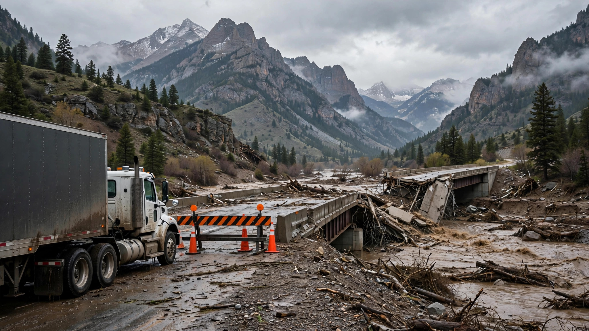 November 3, 2026 · Weather and roadsA U.S. 160 bridge over the Piedra River has failed, Pagosa Springs is largely cut off, and CDOT says a workable replacement is a week or two away
 November 2, 2026 · Weather and roadsU.S. 160 is closed from Wolf Creek Pass through South Fork and in Pagosa Springs as the San Juan River heads for a forecast 22-foot crest — above the 1911 record
 November 1, 2026 · Weather and roadsFlash flooding closes Arizona highways and forces evacuations — I-17 is back open, four state routes are still shut, and Pagosa Springs braces for a record San Juan River crest
Comments
Loading comments…