Winter storm warnings for Colorado's San Juan passes: up to 18 inches and 50 mph gusts on U.S. 160 and U.S. 550 through Monday
The National Weather Service in Grand Junction has the northwest and southwest San Juans under a warning until 2 p.m. Eastern Monday — 12 to 18 inches above 10,000 feet — and the Pueblo office warns the eastern San Juans, including Wolf Creek Pass, from Sunday evening, with the worst travel Sunday night into Monday morning.
Summarized from Autoblog.
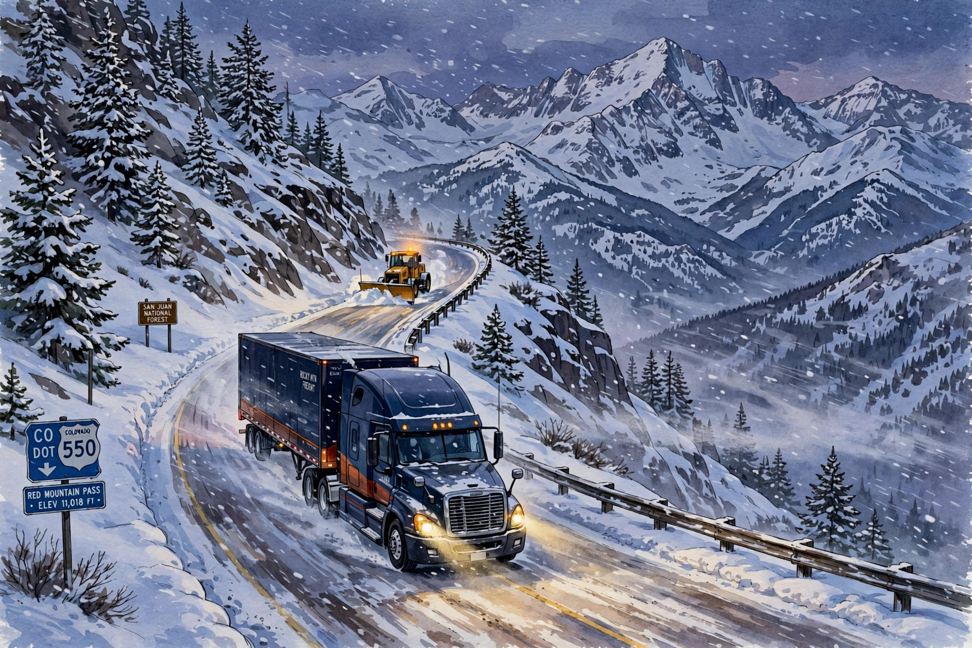
Image: Illustration: AI-generated by CDLWire
Up to 18 inches of snow is forecast above 10,000 feet in Colorado's San Juan Mountains under winter storm warnings from the National Weather Service, with gusts reaching 50 mph and travel that forecasters say could become very difficult to impossible in blowing and drifting snow, according to Autoblog on Nov. 1, reporting the National Weather Service warnings. The first warning is already in effect, and both warnings run past the Monday morning commute — one until 2 p.m. Eastern time on Monday, the other until 1 p.m. Eastern.
The larger warning, from the National Weather Service office in Grand Junction, covers the northwest and southwest San Juan Mountains and runs until 2 p.m. Eastern time on Monday. It calls for 12 to 18 inches of snow above 10,000 feet, with locally higher amounts possible, and wind gusts to 45 mph. The office upgraded the warning from a winter storm watch on Saturday morning. Inside the warned area are Telluride, Ouray, Silverton, Lake City, Rico and Hesperus, along with four passes truck drivers know by name: Red Mountain, Molas, Coal Bank and Lizard Head.
Farther east, the National Weather Service office in Pueblo has the eastern San Juan Mountains above 10,000 feet under a warning from 7 p.m. Eastern time on Sunday to 1 p.m. Eastern on Monday, covering Wolf Creek Pass and Cumbres Pass. That warning forecasts 8 to 14 inches of snow and the strongest wind of the storm, with gusts to 50 mph that could produce areas of blowing and drifting snow. Pueblo expects the worst travel on Sunday night and into Monday morning — which is precisely when a driver leaving on a Sunday dispatch would meet it.
Colorado is not the only state on this weekend's alert map. National Weather Service offices have also posted winter alerts in Utah, Wyoming, Idaho, Nevada and California, including a winter storm warning for the Ruby Mountains in Nevada. But the San Juan warnings are the freight story, because they sit on two U.S. highways that carry trucks over some of the most demanding terrain in the Lower 48, and because each pass fails in a different way.
Wolf Creek Pass carries U.S. 160 over the eastern San Juans. According to the Colorado Department of Transportation, the road drops at a 7% grade for more than eight miles from the summit, with a hairpin curve six and a half miles down and two runaway truck ramps along the way. The department's Wolf Creek guidance for truck drivers is specific: check the brakes before descending, maintain a low speed in a low gear, and do not ride the brakes, which can overheat them. The summit's wide shoulder doubles as a chain-up area for traffic in both directions — the place to stop and chain is at the top, before the grade, not partway down it.
Red Mountain Pass, on U.S. 550, runs below avalanche terrain, and its hazard can close the road even when the driving itself is manageable. In 2023 the Colorado Department of Transportation installed remote avalanche control systems at slide paths on the pass — two Gazex units and three O'bellx units that use compressed air and gases to trigger controlled avalanches above the road while it is closed. The department says crews can run that work in the early morning, before commuter traffic builds, and that the systems shorten closures. Across the state, the department and the Colorado Avalanche Information Center monitor 522 avalanche paths above state highways and Interstate 70, with active mitigation on 278 of them.
The practical takeaway for anyone dispatching or driving the San Juans this weekend is to plan around the clock the warnings give you. The Pueblo warning's worst window is Sunday night into Monday morning; the Grand Junction warning runs to Monday afternoon. A run that can leave early Sunday or wait until Monday afternoon misses the worst of both. Check conditions on COtrip or through 511 before rolling, chain up at the Wolf Creek summit area rather than on the grade, descend in a low gear without riding the brakes, and build time into any U.S. 550 plan for an early-morning avalanche-control closure on Red Mountain Pass — a closure that means the mitigation is working, and that reopens faster than an uncontrolled slide would.
Sources
Related coverage
 October 29, 2026 · Weather and roadsWinter storm warning for the Parks Highway: 7 to 15 inches through Friday, visibility to a quarter mile through Broad Pass
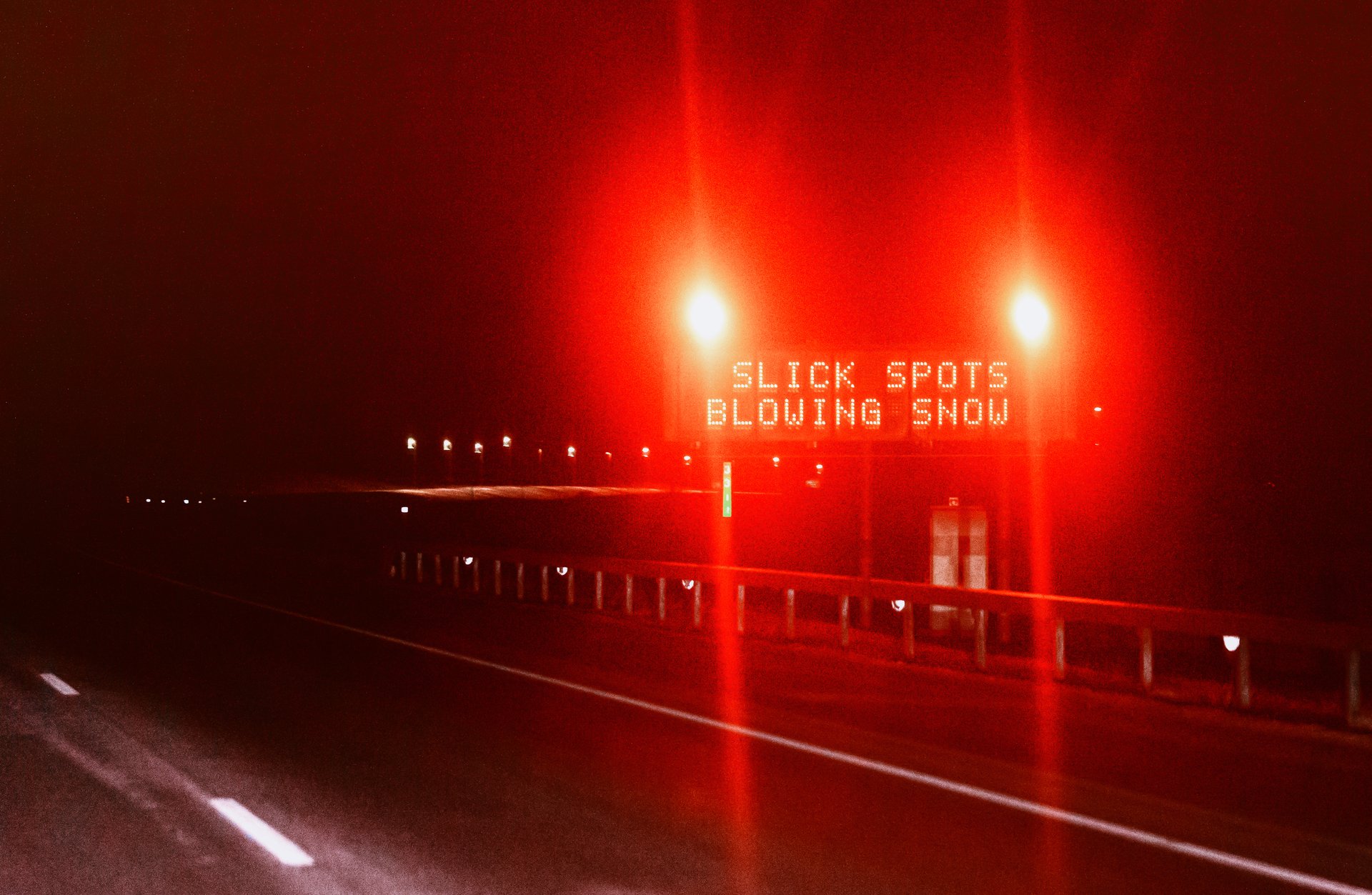 October 26, 2026 · Weather and roadsFirst snow of the season crosses seven states Monday — slush today, frozen ruts and 60 mph Wyoming gusts Tuesday
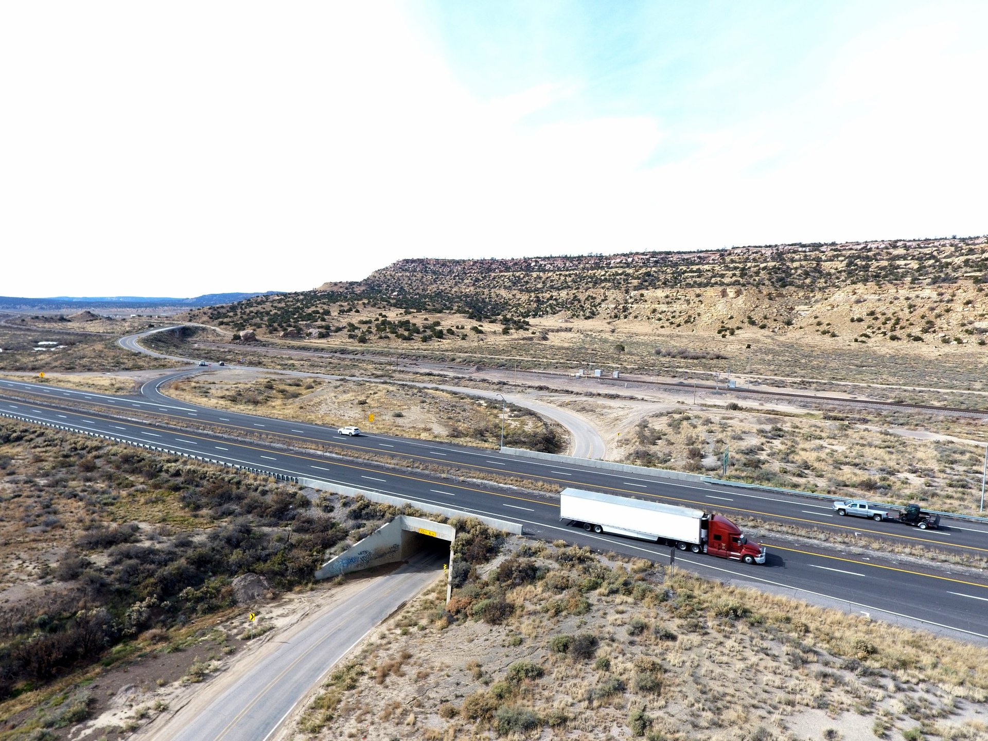 October 25, 2026 · Weather and roadsI-40 is open again at Cubero — but the Rio San Jose flood warning now runs through Monday afternoon
Comments
Loading comments…