First snow of the season crosses seven states Monday — slush today, frozen ruts and 60 mph Wyoming gusts Tuesday
Snow is forecast across parts of seven Rockies and Plains states through Monday night, with several inches possible in the Black Hills and mostly slush at lower elevations; whatever slush survives Monday night can freeze into hard ruts Tuesday, when a National Weather Service high wind watch puts gusts to 60 mph across parts of Wyoming, aimed squarely at high-profile vehicles.
Summarized from Autoblog.
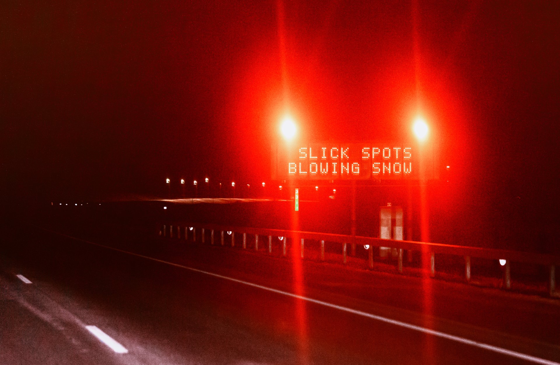
Image: Photo: Tony Webster, via Wikimedia Commons (CC BY 2.0) (file photo)
The season's first snow is spreading across parts of seven states on Monday, and for truck drivers the forecast's real teeth are on Tuesday — slush left on the road overnight can freeze into hard ruts just as gusts to 60 mph hit parts of Wyoming, according to Autoblog on Oct. 26. Snow is expected through Monday night as colder air pulls into a system tracking from the Rockies toward the Dakotas, western Minnesota and the eastern half of Montana, with the best chance of accumulation on higher terrain and mostly slush on the roads below.
The geography matters more than the headline total. Higher ground in Wyoming and Colorado gets rain mixed with wet snow, and accumulation is forecast from northwestern Nebraska and the eastern edge of Wyoming into southwestern North Dakota. Denver should miss most of it. The Black Hills are the accumulation hotspot in this forecast: several inches are possible there, according to Bob Smerbeck, a senior meteorologist at AccuWeather, while the Weather Prediction Center is more cautious, putting the chance of at least 2 inches at 20 to 30 percent and noting that temperatures are marginal, with snow falling before sunrise standing a better chance of sticking. Rapid City is in line for slushy accumulation on Monday, mostly on unpaved surfaces, though KOTA meteorologist Ryan Hill calls the local outcome uncertain. Northeast of the Black Hills, the forecast calls for 1 to 2 inches in a narrow band with a trace to half an inch around it.
Western Nebraska shows the other face of this storm. There, snow mixes with rain by late morning Monday, with brief bursts that could cut visibility but little to no accumulation, according to the National Weather Service in North Platte. That combination — marginal temperatures, wet pavement, intermittent whiteout bursts — is the classic early-season trap for freight: a road that looks merely wet at noon can hide a slush layer that behaves very differently under a loaded trailer, and a visibility burst on an open Nebraska stretch arrives with no terrain warning at all.
The mechanism is worth understanding, because it decides how the truck handles. Snow that falls on pavement above freezing quickly turns to slush instead of packing down, and slush cuts traction because the tire has to push a mix of water and ice out of the way before the tread can grip the road. Shallow tread leaves less room in the grooves to move that mix, and at highway speed the tire can start to ride on top of it; steering feels light and stopping distances get longer. Slush also piles into ridges between lanes, and running one side of the truck through a ridge can pull the steering toward it, which is why lane changes in slush are safer taken slowly. Slush thrown up by passing trucks covers a windshield faster than rain, and summer washer fluid can freeze in the lines once temperatures drop below 32 degrees — without fluid, wipers smear slush across the glass instead of clearing it, so a winter-rated fluid is a Monday-morning check, not a December one.
Tuesday then changes the problem twice over. First, the freeze: KOTA has Rapid City dropping into the upper 20s on Tuesday, cold enough for slush left on the roads Monday night to freeze into hard ruts — a surface that grabs at tires and punishes a casual lane change. AccuWeather also expects unpaved surfaces to accumulate first, which in the Black Hills means ranch roads, forest service roads and trailhead lots turning to mud under snow — relevant to any driver whose pickup or delivery leaves the paved network. Second, the wind: the National Weather Service in Riverton has a high wind watch in effect for Tuesday for the Green Mountains and Rattlesnake Range and lower Natrona County, including Casper and Jeffrey City, with southwest winds of 25 to 35 mph gusting to 60, and stronger gusts possible along South Pass and Outer Drive in Casper. The watch says travel could be difficult, especially for high-profile vehicles — pickups with campers, vans, box trucks and anything towing a trailer. Tall, flat sides give a crosswind more surface to push against, and lower speed gives the driver more time to correct when a gust moves the vehicle toward the next lane or the shoulder.
Context for the week: this is a separate system from the Alaska storm that has kept the Dalton Highway under a winter storm warning through tonight — that warning, covered in Sunday's edition, is unchanged. The Rockies and Plains event is smaller, faster and warmer, which is precisely its risk: not a corridor-closing blizzard, but marginal surfaces — wet, slush, refrozen ruts — followed by crosswinds strong enough to matter for empty high-profile equipment on exposed Wyoming grades.
The practical takeaway: plan Monday and Tuesday as two different drives. On Monday, slow down for slush ridges, take lane changes gently, top up winter washer fluid before you need it, and treat western Nebraska's visibility bursts as a stop-and-wait condition rather than a push-through one. Monday night, assume anything slushy you crossed will be frozen ruts by morning. And on Tuesday in Wyoming — especially around Casper, Jeffrey City and South Pass — check the Riverton wind forecast before dispatching an empty or light high-profile load into gusts forecast to reach 60 mph; waiting out a Tuesday wind window is cheaper than a blown-over trailer on Outer Drive.
Sources
Related coverage
 October 25, 2026 · Weather and roadsI-40 is open again at Cubero — but the Rio San Jose flood warning now runs through Monday afternoon
 October 25, 2026 · Weather and roadsWinter storm warning covers the Dalton Highway through Monday night: 8 to 16 inches in two waves
 October 22, 2026 · Weather and roadsNC-12 damage put at 800 feet of pavement and 1,800 feet of dunes; emergency ferry in planning and no reopening timeline
Comments
Loading comments…