I-40 is open again at Cubero — but the Rio San Jose flood warning now runs through Monday afternoon
Saturday night's both-directions flood closure near mile marker 102 left semis stranded with no detour available; the interstate has since reopened, but the National Weather Service extended the Rio San Jose flood warning to 3:30 p.m. Monday with numerous local roads still closed, and BNSF's parallel Transcon main line reopens in stages overnight.
Summarized from Trains.
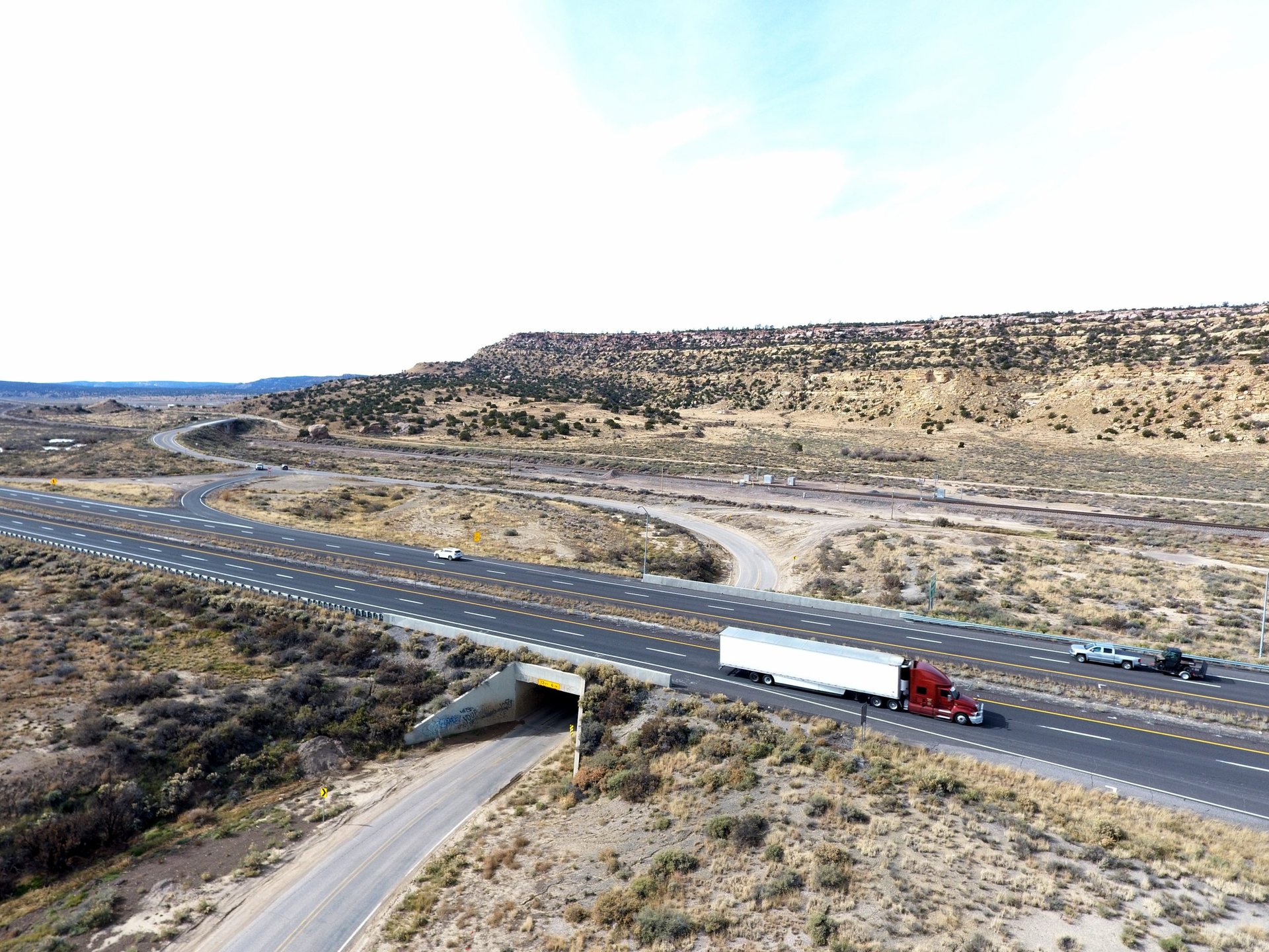
Image: Photo: New Mexico Department of Transportation (file photo)
Interstate 40 is open again in both directions near Cubero, New Mexico, after floodwater from the Rio San Jose shut the highway Saturday night — but the water that closed it has not finished with the corridor, according to Trains on Oct. 25. The National Weather Service in Albuquerque extended its flood warning for the Rio San Jose basin on Sunday afternoon, keeping it in effect until 3:30 p.m. MDT Monday, with the river still out of its banks in large stretches and numerous local roads still closed. For drivers, the interstate reopening is only half the story.
New Mexico State Police closed I-40 in both directions at about 8 p.m. Saturday near Cubero, between Grants and Albuquerque, after heavy rain pushed the Rio San Jose over its banks and across the roadway around mile markers 102 to 108, at Exit 104. Semi trucks were caught in deep water on the interstate — viewers sent images of stranded rigs to Albuquerque station KOB 4 — and the New Mexico Department of Transportation's NMRoads service reported no detour available, with severe delays for anyone already in the corridor. The old Route 66 frontage alignment through the valley flooded as well, removing the usual local workaround, and a casino in the Encinal area faced evacuations as the water rose.
The warning extension, issued at 2:29 p.m. MDT Sunday, covers northwestern Valencia County and northeastern Cibola County. At 2:26 p.m., emergency management reported continued flooding through the Rio San Jose basin, with the river remaining out of its banks in large stretches, and forecasters warned that any additional rainfall Sunday afternoon would make it worse. The warning lists Grants, Laguna Pueblo, New Laguna, Cubero, Mesita, San Fidel, Skyline-Ganipa, McCartys, Paraje and Seama as locations that will experience flooding, and it carries the service's standard instruction in unusually direct terms: turn around, don't drown — do not drive on flooded roads, and treat river banks and culverts as unstable. A flood watch also covers the area through midnight Monday.
The water came from three days of heavy rain across the basin. Law enforcement reported up to 3.5 inches of rain to the Weather Service, and radar estimates ran from 3 to 8 inches over the three days in the hardest-hit spots. That was enough to push the Rio San Jose — normally a modest high-desert river — over its banks and, in places, over the railroad that shares its valley between Marmon and Laguna.
The railroad took the same hit as the highway. BNSF Railway's Southern Transcon main line — the double-track freight artery that parallels I-40 through the valley — flooded between Marmon and Laguna, worst around mileposts 69.7 to 72.7, from Saturday into Sunday. By Sunday the water had receded and crews were clearing debris and replacing washed-out ballast. BNSF spokesman Zak Andersen projected the first route would open at 8 p.m. CST Sunday and the second at 2 a.m. CST Monday. The line averages 59 freight trains a day over the Gallup Subdivision, according to RailState data cited by Trains, so even a two-day interruption stacks up trains on both sides of the gap.
Passenger service took the weekend off entirely. Amtrak canceled the westbound Southwest Chief that left Chicago on Oct. 23 between Albuquerque and Los Angeles, the Oct. 24 departure west of Kansas City, and the eastbound train that left Los Angeles on Oct. 24 between Barstow and Chicago — and Sunday's departures were canceled in both directions.
The interstate closure was the crest of an emergency that began Thursday, when severe thunderstorms opened the flooding in Cibola County. County commissioners moved toward an emergency disaster declaration at a special meeting Friday, the Cibola Citizen reported: about 12 homes flooded in Bluewater Village, low-water crossings and county roads were damaged around Bluewater, San Rafael and Cubero, and in Grants a breached Rio San Jose embankment flooded the Sargent, Devine, MacArthur and Nimitz areas before city crews repaired it and began reinforcing it. Milan put three neighborhoods on ready-for-evacuation status, one household evacuated voluntarily, and no injuries had been reported as of Friday. County damage assessments are set to begin Monday.
The practical takeaway for Monday: the interstate is the safe part of this corridor now — everything below it is not. Monday's forecast for Cibola County is mostly sunny with no rain expected, so the risk is the water already on the ground: flooded frontage roads, washed low-water crossings and local streets still closed under the warning until 3:30 p.m. MDT. Check NMRoads before you roll, do not use the old Route 66 alignment or county roads as a shortcut around any residual I-40 slowdown, and never cross moving water to save a mile — the warning is explicit that banks and culverts can give way. Expect some freight ripple early in the week as BNSF works off the Transcon backlog.
Sources
Related coverage
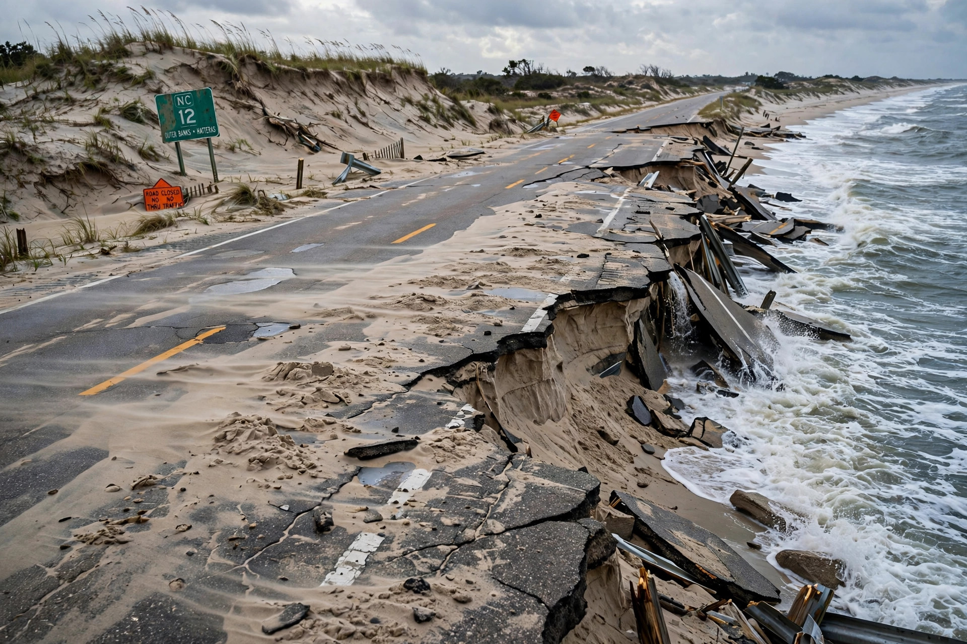 October 22, 2026 · Weather and roadsNC-12 damage put at 800 feet of pavement and 1,800 feet of dunes; emergency ferry in planning and no reopening timeline
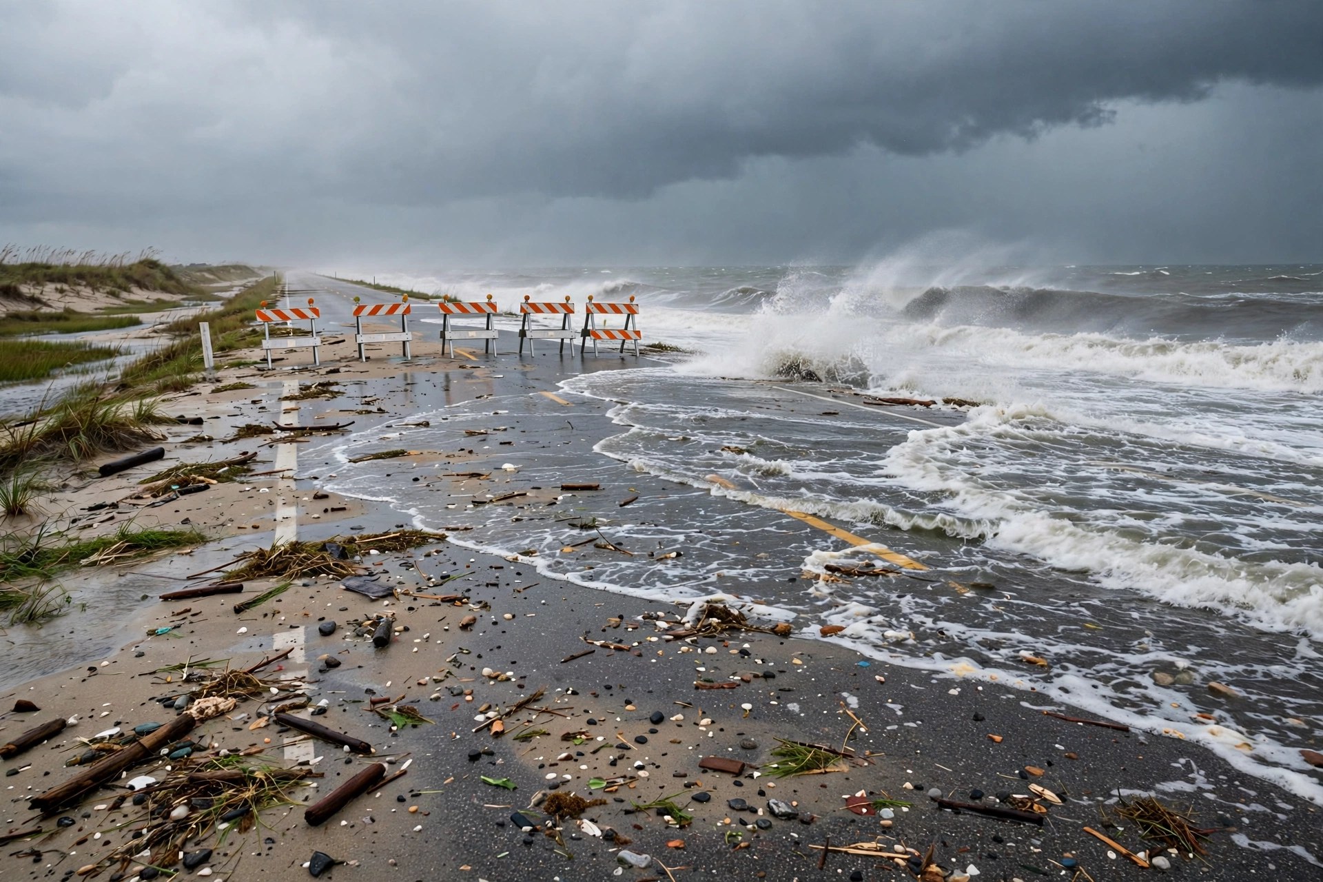 October 21, 2026 · Weather and roadsNor'easter closes NC-12 to Hatteras: the island's only road is still shut Wednesday, flood warnings extended
 October 18, 2026 · Weather and roadsNor'easter takes shape off the Carolinas: gusts over 60 mph, a coastal flood warning and NC-12 overwash risk into Tuesday
Comments
Loading comments…