South Texas flood threat escalates overnight: forecast totals raised to a widespread 3 to 6 inches, worst of it late today into early Monday
The National Weather Service's Weather Prediction Center raised its South Texas rainfall expectations overnight — a widespread 3 to 6 inches, locally as much as 8, with a 60-90% probability of more than 3 inches south of I-10 — and the Corpus Christi office reissued the Flood Watch through Monday noon with isolated totals of 7 to 9 inches now possible. A Flash Flood Warning and a Flood Advisory covered the Laredo area early this morning, and forecasters say the best chances for flash flooding come late this afternoon and evening, carrying into early Monday morning.
Summarized from National Weather Service.

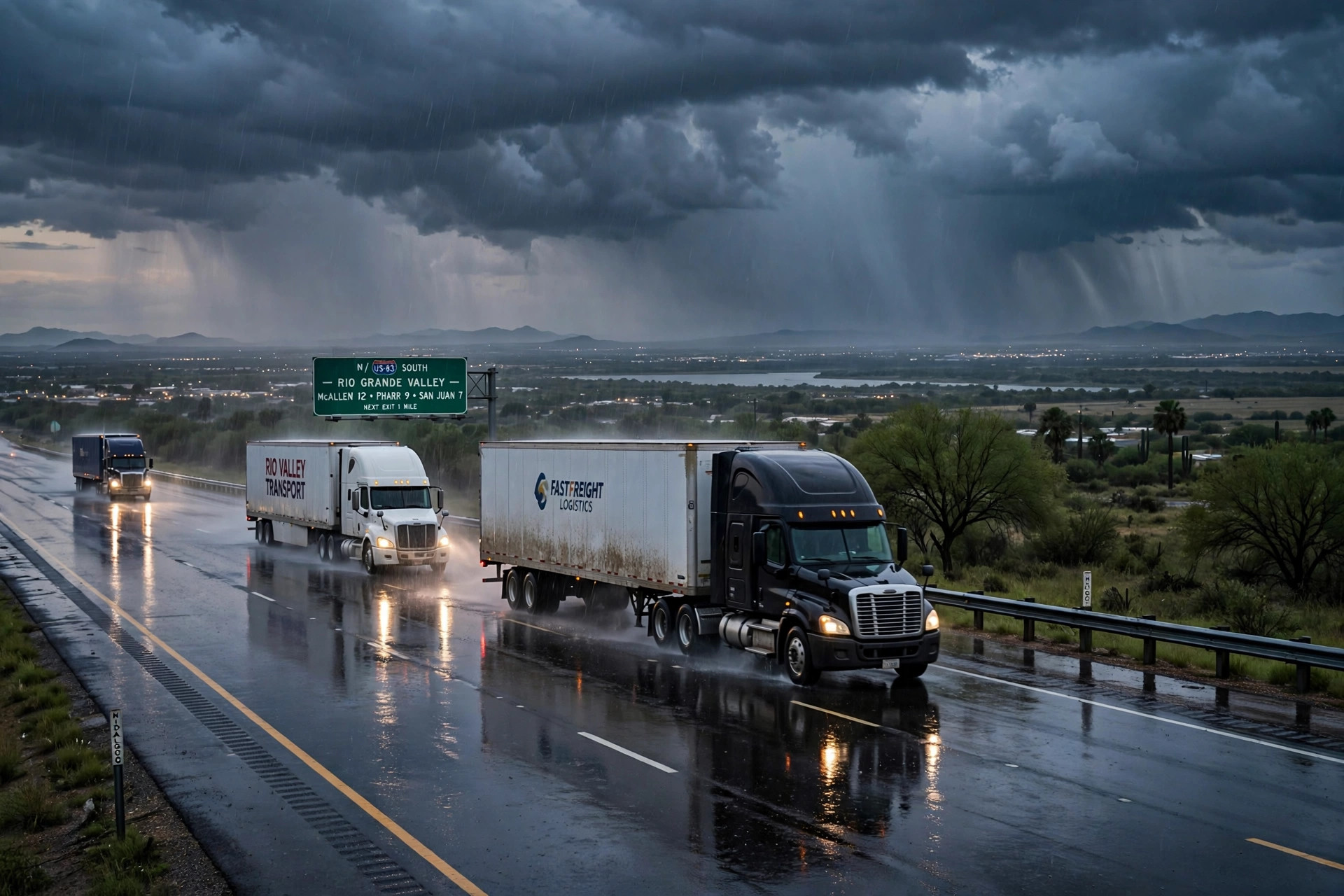
Image: Illustration: AI-generated by CDLWire
The South Texas rain event CDLWire flagged yesterday morning has intensified on paper overnight, and the hours drivers should worry about have narrowed to late today and tonight. The Weather Prediction Center’s excessive rainfall discussion, issued at 3:12 AM EST on Sunday, keeps a slight risk — level 2 of 4 — of excessive rainfall across south-central and South Texas, but its rainfall guidance is materially higher than the outlook yesterday’s Flood Watch story was built on, according to the National Weather Service on Nov. 8. Where the earlier outlook described a broad 2 to 3 inches with locally heavy totals of 4 to 6, the center now reports a blended model mean of a widespread 3 to 6 inches, with as much as 8 inches possible during the full period, and neighborhood probabilities of more than 3 inches running 60-90% over much of South Texas, mainly south of Interstate 10.
The Corpus Christi forecast office moved in the same direction. It reissued the Flood Watch at 12:34 AM CST on Sunday, extending it through Monday at noon and raising its common amounts: widespread forecast rainfall of 2 to 5 inches will be common across South Texas, the reissued watch says, and isolated amounts of 7 to 9 inches remain a possibility — up from the original watch’s 2 to 4 inches common and isolated totals over 5 inches. The watch covers the same freight geography as before: Webb, Duval, La Salle, McMullen, Live Oak, Jim Wells, Bee and Goliad counties and the Nueces, Kleberg and Aransas coastal counties — the I-35 border corridor at Laredo, the Rio Grande Valley approaches and the Coastal Bend.
The first water arrived on schedule. Early this morning the Corpus Christi office issued a Flood Advisory for southeastern Webb County — including Laredo, Rio Bravo, El Cenizo, Aguilares, Mirando City, Oilton and Bruni — in effect from 4:09 AM to 7:15 AM CST, and a Flash Flood Warning for the Laredo area ran from 5:04 AM to 8:00 AM CST. Those are the first warning-level products of the event, and they landed exactly where the forecast said training storms would be most dangerous: on the urban streets and low-lying crossings in and around Laredo, where bridge queues form and where a flooded frontage road costs a driver hours-of-service the same way a closed highway does.
The pattern behind the numbers is a multi-wave one, and its timing is the practical core of this update. The center describes an early round of heavy rainfall transitioning to a complex of convection centered over eastern Webb County toward Corpus Christi by this afternoon, with solid totals of 2 to 4 inches, locally higher, during the afternoon and early evening — then a re-firing of convection over Deep South Texas tonight as the nocturnal low-level jet redevelops, carrying the threat into early Monday morning. Rainfall rates are generally capped between 1 and 2 inches per hour at peak intensity. The center is explicit that the best chances for flash flooding occur in the late-afternoon and evening time frame today, and it warns that a targeted upgrade of the risk area is possible if observed accumulations and flood reports trend worse — the ground will already be primed by the time the evening round arrives, which lowers what it takes to flood even though flash flood guidance thresholds in the region are fairly high.
Monday is not an all-clear, but it is a step down. The center drops South Texas to a marginal risk — level 1 of 4 — for Monday into Tuesday, with models consistent on an additional 0.5 to 1 inch on average south and southeast of I-10 and locally higher totals in a narrow corridor, while a few ensemble members run as high as 2 to 4 additional inches on top of already saturated ground. Forecasters will watch that corridor for a possible short-term upgrade until the threat wanes after midday Monday. From Tuesday onward, the probability of rainfall exceeding flash flood guidance falls below 5% — the event has a defined end, and it is Monday, not midweek.
For drivers, this update changes the advice in degree, not in kind — but the degree matters. Yesterday’s story said to treat Sunday as the controlling day; the overnight guidance says to treat Sunday evening and the first hours of Monday as the controlling window within it, on the corridor between Webb County and Corpus Christi. A Laredo crossing or a Valley delivery that can be completed before the afternoon complex forms, or staged north of the I-10 line until Monday afternoon, misses the overlap of the heaviest rates with already-wet ground. Loads that cannot move should build their hours-of-service buffer for bridge approaches, inspection lots and city streets in Laredo flooding before the interstates do, and no driver should take a loaded combination through a flooded low-water crossing on U.S. 83, U.S. 77 or U.S. 281 or a barricaded frontage road: with isolated totals now forecast at 7 to 9 inches, that is the range in which South Texas crossings stop being wet and start being washed.
Sources
Related coverage
 November 7, 2026 · Weather and roadsFlood Watch for South Texas through Monday morning: 2 to 4 inches of rain, locally over 5, on the Laredo and I-10 freight corridors
 November 5, 2026 · Weather and roadsPagosa's Piedra River fix is now a four-week job: temporary bridge needs new abutments, Wolf Creek stays shut, and Highway 84 is the lifeline
 November 4, 2026 · Weather and roadsU.S. 160 through Pagosa Springs reopened Tuesday — but the corridor is still closed from mile marker 121 to 139 with no reopening date, and Wolf Creek Pass stays shut
Comments
Loading comments…