Flood Watch for South Texas through Monday morning: 2 to 4 inches of rain, locally over 5, on the Laredo and I-10 freight corridors
The National Weather Service has issued a Flood Watch for most of South Texas from Saturday afternoon through Monday morning, with the heaviest rain Sunday. The Weather Prediction Center puts a slight risk — level 2 of 4 — of excessive rainfall across south-central and South Texas along and south of I-10, with a broad 2 to 3 inches, locally heavy totals of 4 to 6 inches, and the greatest probabilities between Laredo and Corpus Christi. Training storms over Laredo and the Coastal Bend are the flash-flood concern.
Summarized from National Weather Service.
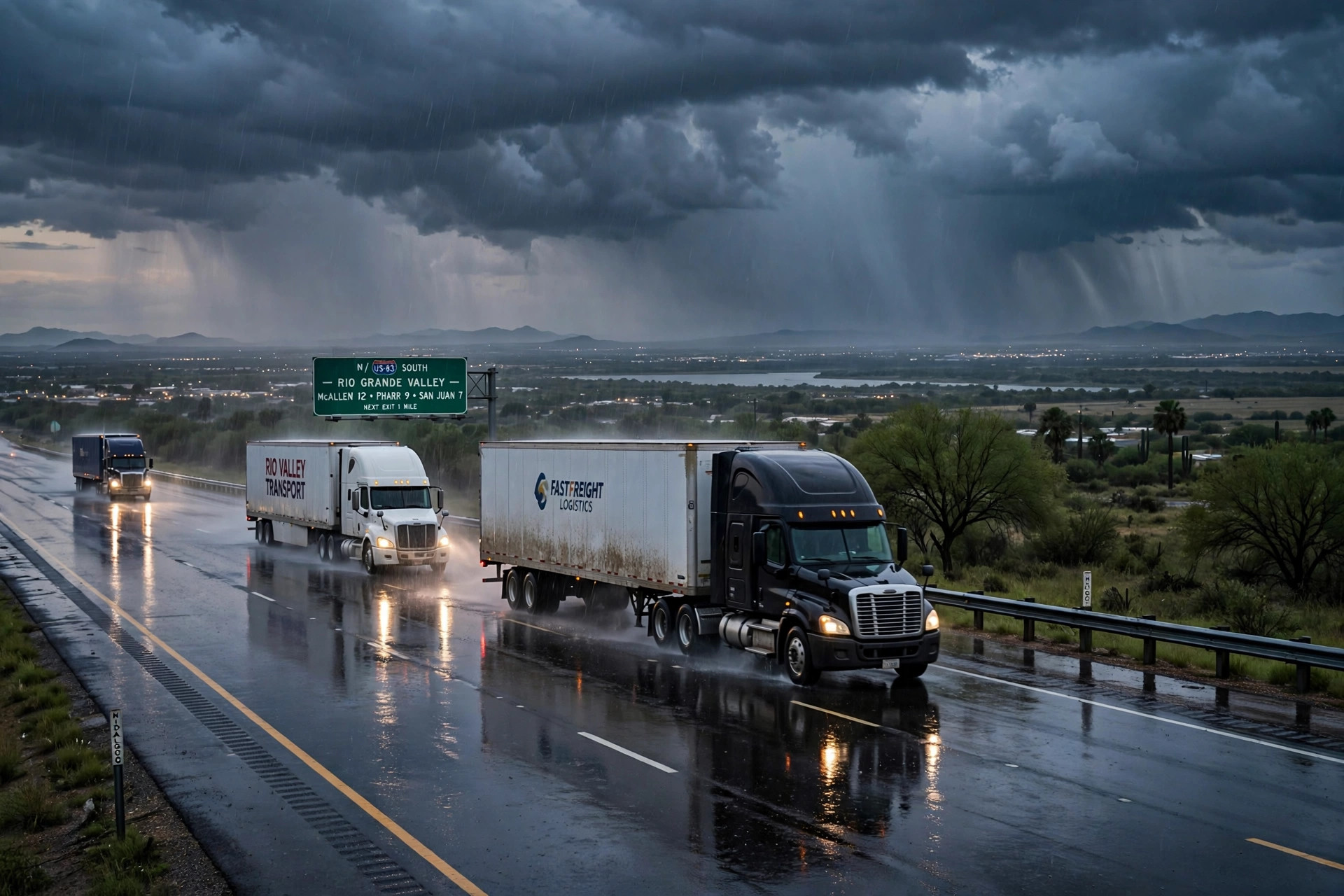
Image: Illustration: AI-generated by CDLWire
The National Weather Service has issued a Flood Watch for most of South Texas from Saturday afternoon through Monday morning, and its Weather Prediction Center rates Sunday into Monday at a slight risk — level 2 of 4 — for excessive rainfall across south-central and South Texas, according to the National Weather Service on Nov. 7. This is a rain event aimed directly at one of the busiest freight geographies in the country: the core of the heaviest rainfall sits along and south of Interstate 10, between Laredo and Corpus Christi, covering the I-35 border corridor, the Rio Grande Valley crossings and the South Texas ranch and produce country in between.
The amounts are the kind that close low-water crossings rather than merely slow traffic. The Corpus Christi forecast office, whose discussion issued early Saturday underlies the watch, says guidance paints 2 to 4 inches of rain through Monday morning with localized totals over 5 inches — and some guidance runs as high as 9 inches, which the office flags as the extreme end. The Weather Prediction Center’s own outlook, updated early Saturday and valid from Sunday morning to Monday morning, describes a broad area of 2 to 3 inches over the central Rio Grande Valley into south-central Texas, with locally heavy totals between 4 and 6 inches and the latest European model run showing 8 inches or more east of Laredo as the upper threshold. Forecast probabilities of more than 5 inches run 40-60% in the heaviest area. The greatest probabilities settle between Laredo and Corpus Christi, with emphasis on Webb, Duval and Zapata counties, and the corridor of heaviest rain runs from the Hill Country down through the central valley to Brownsville.
The timing builds through the weekend. Rain begins along the Rio Grande and into the Edwards Plateau on Saturday afternoon and evening, as moisture surges northward off the Gulf, and the heaviest, most organized rainfall arrives Sunday as a slow-moving pattern parks over the region for at least 24 hours. The Corpus Christi office is explicit about the flash-flood mechanism: flash flood guidance is relatively high — generally 3 to 5 inches in a six-hour period — but if storms begin training, moving repeatedly over the same areas, or slow down over the urban areas of Laredo and along the Coastal Bend, flash flooding may become a concern. The event winds down through Monday, with lower rain chances lingering toward the coast into midweek.
The coastal side of the system adds a second, slower problem. Strong easterly winds combined with the approaching new moon are expected to push water levels to 2 to 2.5 feet at high tide cycles from Sunday through at least midweek along the middle Texas coast, making some areas near bays and estuaries impassable at high tide even where the rain itself has eased. For freight, that matters on the local roads serving Coastal Bend industry and port-adjacent facilities — a route can be rained out on Sunday and tide-locked again on Tuesday morning.
Why this corridor matters needs no exaggeration. Laredo is the country’s busiest inland port, and the crossings at Laredo, Hidalgo-Pharr and Brownsville move the produce, auto parts and manufactured goods that fill I-35 northbound and I-10 eastbound every day. A two-to-four-inch rain event with locally higher totals does not close an interstate by itself; what it closes are the frontage roads, ranch roads, low-water crossings on U.S. 83, U.S. 77 and U.S. 281, and the urban streets in Laredo where bridge queues form. It also slows the crossing itself — inspection lots, bridge approaches and the city streets feeding them flood before the highways do, and a delayed crossing consumes hours-of-service exactly the way a closed road does.
Drivers dispatched into South Texas this weekend should treat Sunday as the controlling day. Check conditions before rolling and again before the last leg — the watch runs through Monday morning, and the heaviest rain is a Sunday event, so a Saturday-evening arrival plan that worked on paper can meet its worst water on the Sunday return. Build hours-of-service buffer into any Laredo or Valley delivery scheduled Sunday or Monday, tell dispatch early if a crossing queue is eating the clock, and never drive a loaded combination through a flooded low-water crossing or a barricaded frontage road: the rainfall figures in this forecast — locally over 5 inches, with an extreme tail near 9 inches — are precisely the range in which South Texas crossings go from wet to washed. Loads that can stage north of the I-10 line until Monday afternoon will miss the worst of it.
Sources
Related coverage
 November 5, 2026 · Weather and roadsPagosa's Piedra River fix is now a four-week job: temporary bridge needs new abutments, Wolf Creek stays shut, and Highway 84 is the lifeline
 November 4, 2026 · Weather and roadsU.S. 160 through Pagosa Springs reopened Tuesday — but the corridor is still closed from mile marker 121 to 139 with no reopening date, and Wolf Creek Pass stays shut
 November 3, 2026 · Weather and roadsA U.S. 160 bridge over the Piedra River has failed, Pagosa Springs is largely cut off, and CDOT says a workable replacement is a week or two away
Comments
Loading comments…