South Texas rain peaks and turns: 5 to 10 inches fell near Kingsville, one more round Monday, and the heavy rain ends by evening
The Weather Prediction Center's discussion issued early Monday shrinks the excessive-rainfall risk to far southeastern Texas — a slight risk, level 2 of 4, from southwest of Corpus Christi down to Brownsville — after some areas took 4 to 9 inches in 24 hours and the Kingsville area took 5 to 10. The Corpus Christi office says 1 to 3 more inches are possible through Monday afternoon on saturated ground, the Flood Watch runs through noon, and a Flood Warning for Oso Creek near Corpus Christi, with a crest near 23 feet late Monday night, runs to Wednesday afternoon.
Summarized from National Weather Service.
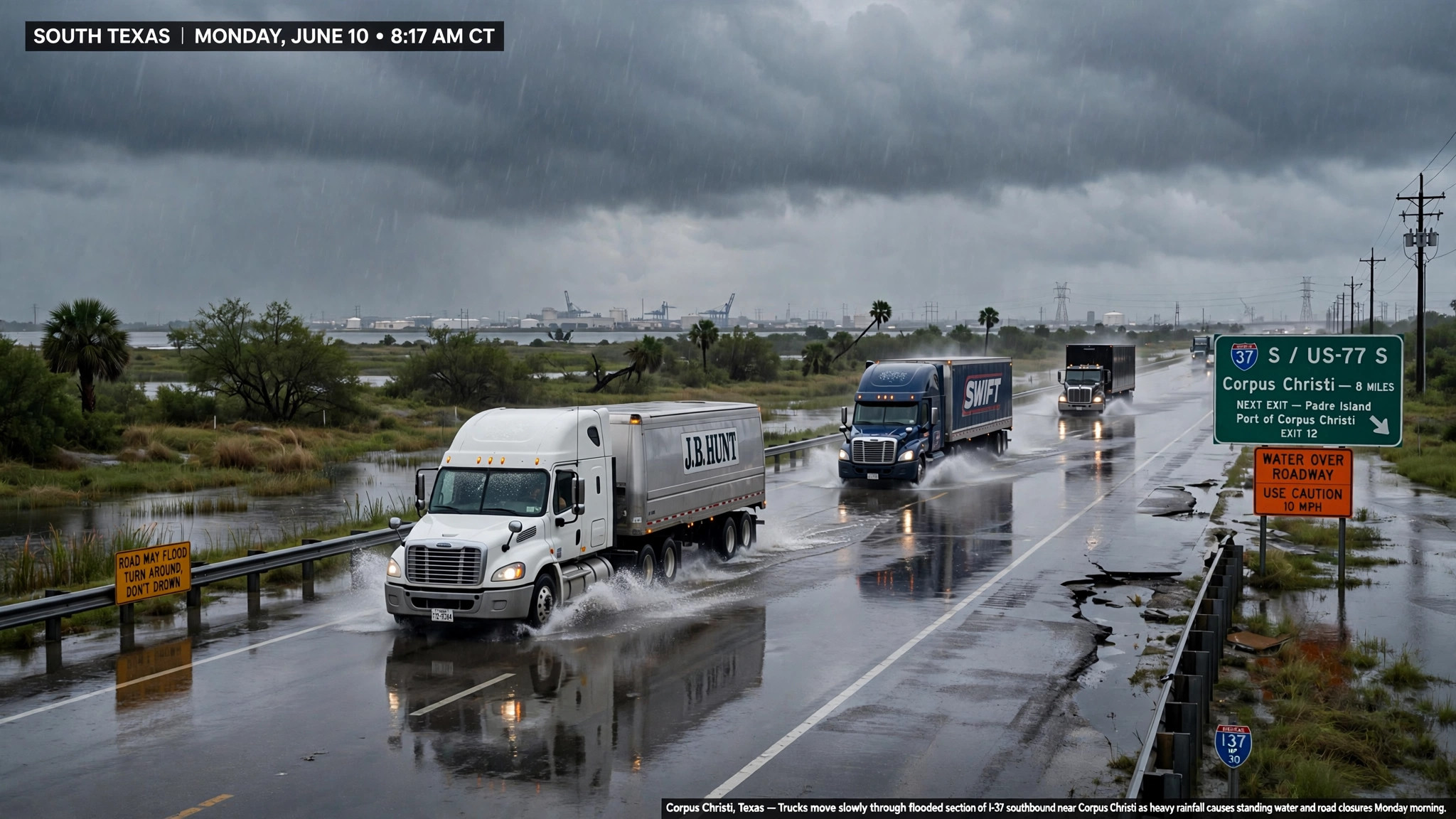
Image: Illustration: AI-generated by CDLWire
The South Texas flood event that CDLWire has tracked since Saturday is peaking and turning on Monday: the heavy rain has already fallen in the amounts the weekend forecasts warned about, the risk area has contracted to the Coastal Bend and the lower Rio Grande Valley, and the Weather Prediction Center puts a defined end on the event — the heavy precipitation potential ends before 6 PM CST today, according to the National Weather Service on Nov. 9. The center’s excessive rainfall discussion, issued at 2:55 AM EST on Monday, keeps a slight risk — level 2 of 4 — of excessive rainfall across portions of far southeastern Texas only, as a targeted upgrade into the zone from southwest of Corpus Christi down toward Brownsville, with a marginal risk — level 1 of 4 — expanded north over south-central Texas into the Hill Country west of Interstate 35.
The observed totals are the new fact of this edition. Some areas have already seen 4 to 9 inches of rain in the past 24 hours, the center reports, and the epicenter sat southwest of Corpus Christi near Kingsville, where local totals ranged from 5 to 10 inches in observations and radar-based, gauge-corrected data. The Corpus Christi forecast office’s own discussion, issued at 12:26 AM CST on Monday, tells the same story from the ground: 5 to near 10 inches of rain fell in the previous 24 hours from Duval County toward the area between Corpus Christi and Baffin Bay. Flash flood guidance — the amount of rain needed to start flooding — is now compromised across the zone between southwest Corpus Christi and about 50 miles east of Laredo, which is forecaster language for ground that cannot take much more water before it runs off.
Monday still holds one more round, and its mechanics are why the slight risk survived the contraction. A surface trough bisecting South Texas is focusing convergence between the Rio Grande Valley and the western Gulf, steering repeated convection out of Mexico and into the same corridor, and the storms are slow: the center puts storm motions at 4 to 10 knots at peak during the morning and early afternoon, the setup for cells that train over one place for hours. Neighborhood probabilities of more than 3 inches run 25-45% in the zone from southwest Corpus Christi down to Brownsville, and guidance shows a small area of up to 2 to 3 inches of additional rain falling on top of the widespread 2 to 5 inches of the past 24 hours. The Corpus Christi office’s short-term model shows 1 to 3 more inches from Duval County toward Corpus Christi and Baffin Bay, with totals above 4 inches possible closest to the coast through Monday afternoon — and it warned the region was “primed for yet another messy morning commute.”
The products drivers will actually meet on Monday run on three different clocks. The Flood Watch for South Texas, first issued Friday evening and reissued early Sunday, remains in effect through Monday at noon. The rain itself ends on the center’s schedule by late afternoon, as the pattern degrades and the heavy precipitation potential ends prior to 00Z; from Tuesday onward, the probability of rainfall exceeding flash flood guidance falls below 5% and stays there through the week. But the water already down keeps moving after the rain stops. A Coastal Flood Advisory runs through Tuesday at 3:00 AM CST, with water levels approaching 2 feet above mean sea level through Monday’s high tide along the middle Texas coast — the same tide problem the weekend stories flagged for port-adjacent and bay-side local roads.
The longest clock is the river one, and it is new in this edition. The Corpus Christi office’s Flood Warning for Oso Creek near Corpus Christi, in Nueces County, is in effect from Monday morning to Wednesday at 1:00 PM CST, with moderate flooding forecast. The creek stood at 11.1 feet at 7:15 PM CST on Sunday — already just above its 11.0-foot bankfull stage — and forecasters expect it to climb above its 20.0-foot flood stage Monday morning to a crest near 23 feet late Monday night, then fall below flood stage late Tuesday night. At 20.0 feet, moderate lowland flooding occurs from the headwaters near Violet Road, or Farm to Market 24, to Oso Bay, and secondary roads and low bridges near the creek are flooded.
The geography of the threat has also moved, and that movement is the practical headline. On Saturday the watch story centered on Laredo and the I-35 border corridor; on Sunday the risk sat from Webb County toward Corpus Christi; on Monday the slight-risk core sits over the Coastal Bend and the Valley — Corpus Christi, Kingsville, the U.S. 77 and U.S. 281 corridors and Brownsville — while Laredo’s end of the corridor is left with saturated ground and compromised guidance rather than the day’s heaviest rates. Border freight through Laredo is not the controlling problem today; Coastal Bend and Valley freight is.
For drivers, Monday’s rules are the weekend’s rules with a shorter fuse. Loads crossing the Corpus Christi-to-Brownsville corridor before early afternoon meet the last training round on ground that has already taken 5 to 10 inches in places — the exact conditions in which low-water crossings on U.S. 83, U.S. 77 and U.S. 281 and flooded frontage roads stop traffic without closing an interstate. Build hours-of-service buffer into any Coastal Bend or Valley delivery today, expect local delays around delayed-opening districts this morning, and do not take a loaded combination through standing water whose depth you cannot see: with flash flood guidance compromised, it takes far less new rain to put a crossing under than it did on Saturday. From this evening the rain threat is over — but plan Tuesday and Wednesday local work around Corpus Christi for the Oso Creek crossings and the tide-locked coastal roads, because the flood outlasts the storm by two days.
Sources
Related coverage
 November 8, 2026 · Weather and roadsSouth Texas flood threat escalates overnight: forecast totals raised to a widespread 3 to 6 inches, worst of it late today into early Monday
 November 7, 2026 · Weather and roadsFlood Watch for South Texas through Monday morning: 2 to 4 inches of rain, locally over 5, on the Laredo and I-10 freight corridors
 November 5, 2026 · Weather and roadsPagosa's Piedra River fix is now a four-week job: temporary bridge needs new abutments, Wolf Creek stays shut, and Highway 84 is the lifeline
Comments
Loading comments…