Chain controls are back on Donner for Monday — trucks screened at Applegate and Mogul, permit loads prohibited, with the midweek watch opening Tuesday night
Caltrans' Monday 5 a.m. report requires chains in both directions over the summit — eastbound from Cisco to the Donner Lake Interchange, westbound from Truckee to west of Kingvale — after an unrestricted Sunday morning, while the Weather Service keeps the heaviest snow for this morning and the bigger system on watch from 10 p.m. Tuesday to 4 a.m. Friday.
Summarized from Caltrans.
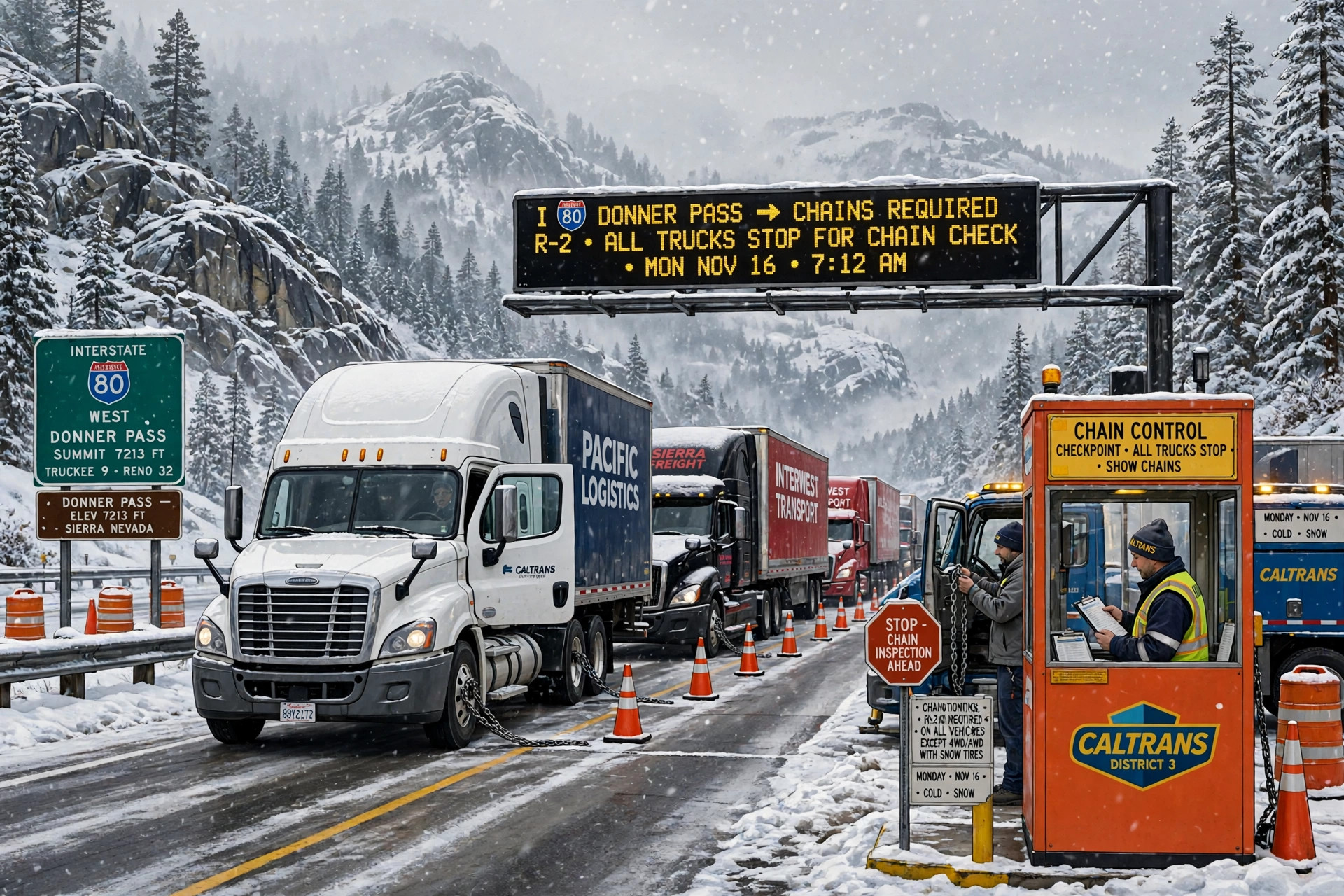
Interstate 80 over Donner Summit is under chain controls in both directions this morning, with trucks screened on both approaches and permit loads prohibited, according to Caltrans on Nov. 16 — a harder Monday than the unrestricted Sunday morning the same report described a day ago, and only the first of two Sierra deadlines this week.
Caltrans' highway report for Interstate 80, as of 5:00 a.m. Pacific on Monday, Nov. 16, requires chains on all vehicles except 4-wheel-drive vehicles with snow tires on all 4 wheels in both directions: eastbound from Cisco to the Donner Lake Interchange, and westbound from Truckee to 4.7 miles west of Kingvale. For trucks, the report adds the screening that decides whether a combination reaches the grade at all. Eastbound trucks are being screened at Applegate, and drivers must have maximum chains in their possession in order to proceed. Westbound trucks are being screened 5 miles west of Reno, at Mogul, under the same maximum-chains requirement. In both directions, permit loads are prohibited. For freight the control is simple: chains on, maximum chains carried, or do not roll.
The snow behind the controls is the tail of the weekend system, and its timing is front-loaded. The National Weather Service in Sacramento, in its Area Forecast Discussion issued at 3:48 a.m. Pacific on Monday, Nov. 16, says the storm will continue bringing lingering rain, mountain snow and breezy southerly winds through this evening, with snow continuing above 6,000 feet, slippery roads and reduced visibilities expected to bring travel delays, and chain controls currently in force for mountain highways such as Interstate 80. The heaviest snow is expected this morning, then gradually diminishing by evening. A Winter Weather Advisory continues through 10 p.m. tonight for the Sierra and Lassen Volcanic National Park above 6,000 feet, and dry weather returns by midnight.
Tuesday is the lull, and it is short. Cold morning lows are forecast on Tuesday — teens to low 30s in the mountains — with the potential for morning frost, before the next system arrives Tuesday night. That system is the one the Weather Service has had on watch since Sunday, and Monday's discussion pins its window and keeps its totals: a Winter Storm Watch remains in effect for elevations above 4,000 feet for the northern Sierra and southern Cascades from 10 p.m. Tuesday through 4 a.m. Friday, and for the Coast Range and Shasta County mountains from 7 p.m. Tuesday through 4 a.m. Thursday. Confidence remains high in a strong storm arriving Tuesday night through early Friday morning bringing widespread rain, gusty southerly winds and heavy mountain snow, with precipitation forecast at 1.25 to 2 inches in the Valley and Delta, 1.50 to 2.75 inches in the foothills, and 2 to 3.5 inches of liquid equivalent over the mountains. The latest trend has increased amounts from Interstate 80 south, and slightly decreased amounts over the northern mountains.
The snow levels are what make the midweek system a freight problem rather than only a summit problem. Snow levels initially start around 3,500 to 4,500 feet Tuesday night, then rise to around 4,500 to 6,000 feet by late Wednesday morning. Total snow accumulations between 1 and 2 feet above 5,000 feet are possible, with up to 3 feet at the highest peaks, and 4 to 8 inches are expected between 4,000 feet and 5,000 feet, with up to 12 inches at 5,000 feet. The heaviest snow is expected Wednesday morning north of Interstate 80, then Wednesday afternoon and evening, with snowfall rates up to 1 to 2 or more inches per hour. Mountain travel could be very difficult to impossible Tuesday night through early Friday morning.
Wind is the second hazard, and Monday's discussion quantifies it more sharply. Gusty winds to around 50 mph could bring down tree branches and significantly reduce visibilities, with whiteout conditions possible at times in the mountains. The strongest winds are expected Wednesday: forecast gusts range from 35 to 45 mph in the Valley and foothills, with local gusts to 50 mph or more possible in the Delta, and the probability for wind gusts reaching 40 mph is 60% to 90% or greater for the Sacramento Valley and Delta, with the potential for downed trees, power outages and difficult driving conditions — the combination a high-profile vehicle feels first on the valley floor before it ever reaches the chain line. Friday looks like the system will be winding down by afternoon, though the Weather Service warns the lull may be brief, with the active pattern returning for the weekend and potential to continue into Thanksgiving week.
The practical plan is therefore two crossings, not one. Monday's crossing is a chained crossing at its worst this morning, improving toward evening and clear of the advisory at 10 p.m., with dry weather by midnight — but no truck reaches the grade without maximum chains in its possession at Applegate or Mogul, and no permit load crosses at all. Tuesday daytime is the clean window the forecast offers. After 10 p.m. Tuesday, the watch window opens on a storm the Weather Service expects to make mountain travel very difficult to impossible at times through early Friday. Stage on the side of the Sierra you need to be on before Tuesday night, and check the Caltrans highway report again before rolling, because this corridor has already moved from unrestricted to fully controlled inside a day.
Source: Caltrans
Image: Illustration: AI-generated by CDLWire
Sources
Related coverage
 November 15, 2026 · Road conditionsThe Sierra's midweek storm roughly doubles overnight: 90% to 100% odds of at least 24 inches above 5,000 feet
 November 14, 2026 · Road conditionsI-80 westbound closed to semis over Donner Summit — and a new Sierra advisory runs Sunday into Monday
 November 14, 2026 · Road conditionsWolf Creek Pass reopens for the weekend, then closes again Monday for paving
Comments
Loading comments…