I-80 is fully clear over the Sierra on Saturday morning — a light weekend system is next, and a stronger one is aimed at Thanksgiving week
Caltrans' 5 a.m. Saturday report for Interstate 80 lists no traffic restrictions anywhere on the route — no chains, no closures, no screening — for the first time since the storm week began. The Weather Service expects a weaker weekend system to bring 1 to 3 inches of snow above 4,000 feet, a dry Monday, and then a stronger system with mountain snow, gusty winds and thunderstorm chances from Tuesday through Thanksgiving Day.
Summarized from Caltrans.
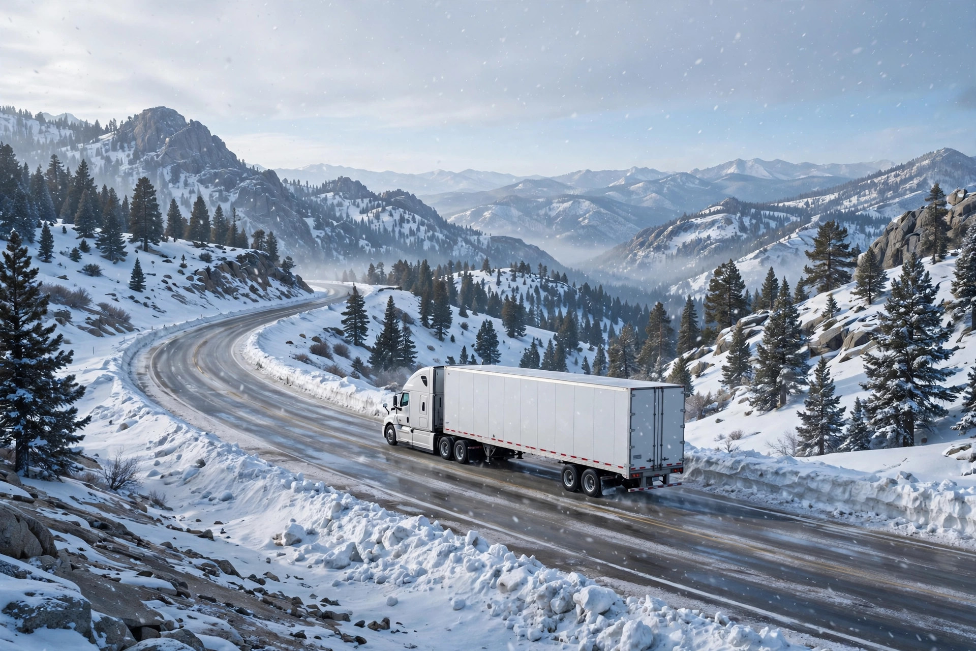
Interstate 80 over the Sierra is running without a single listed restriction this morning, according to Caltrans on Nov. 21 — no chain requirement, no closure and no truck screening anywhere on the route, one day after the week-long storm's warning expired.
Caltrans' highway report for Interstate 80, as of 5:00 a.m. Pacific on Saturday, Nov. 21, reports no traffic restrictions in the San Francisco Bay Area and Solano County section and no traffic restrictions in the Northern California and Sierra Nevada section. Business 80, the Capital City Freeway, is likewise listed with no restrictions. The only standing item on the whole report is one drivers who ran the storm week will recognize as routine rather than storm-driven: all westbound trucks are required to stop at the brake check area half a mile west of Nyack in Placer County, a standing measure Caltrans lists to reduce the risk of brake fires on the long westbound descent.
That is a complete reversal from the week that preceded it. The storm that arrived Wednesday closed westbound Interstate 80 to all semitrucks at points, pushed chain controls from Applegate to the Nevada state line, stranded more than 30 semitrucks near Donner Pass amid spinouts, and kept a Winter Storm Warning in force, in extended form, until 10 a.m. on Friday. By Friday afternoon Caltrans had lifted the last chain controls, and Saturday morning's report confirms the corridor has fully reset: a driver crossing Donner Summit today is crossing on bare pavement under the report, with no control segment to chain up for in either direction.
The break is real but it is not the end of the pattern. The National Weather Service in Sacramento, in its Area Forecast Discussion issued at 3:24 a.m. Pacific on Saturday, Nov. 21, says a weaker system moves across the area over the weekend, bringing light rain to the Valley and mountain snow above 4,000 feet. The forecast snow amounts for the weekend system are 1 to 3 inches, up to 5 inches over the highest peaks — a fraction of what the midweek storm delivered. Saturday morning itself starts cold, with lows in the 30s across the Valley and in the teens to 20s in the mountains, and a Dense Fog Advisory in effect for the northern San Joaquin Valley until 10 a.m. Saturday, with additional fog possible across portions of the southern Sacramento Valley and the Delta before it dissipates late in the morning. For a driver, that means the Saturday hazards on the approaches are fog and frost on the valley floor this morning, not chains on the summit.
Monday is the clean day in the forecast. The Weather Service calls for briefly dry conditions on Monday before active weather returns for the days leading up to and including Thanksgiving. The system expected from Tuesday through Thanksgiving Day is described as stronger than the weekend system: widespread precipitation, mountain snow above 5,000 feet, gusty winds and thunderstorm chances. Two cautions come attached to that forecast in the Weather Service's own words. First, the ensemble guidance still shows notable uncertainties about the holiday system's exact precipitation amounts and timing, and the agency advises staying up to date with the latest forecast given the potential for holiday travel impacts. Second, the Thanksgiving-week storm is not anticipated to be as wet or snowy as the system that just ended — the one that closed the interstate to trucks — so the current expectation is a disruptive holiday system, not a repeat of this week's shutdown, while recognizing that the amounts are the part of the forecast most likely to change.
The practical window this creates is unusually clear. A load that has to cross the Sierra this week has, on the current forecast, a restriction-free interstate today, a light-snow weekend system whose forecast amounts are modest, and a fully dry Monday, before the next system arrives Tuesday and runs into the Thanksgiving travel peak. That argues for crossing early in the window rather than late: the same summit that is bare this morning is forecast to be in mountain snow again by midweek, at exactly the moment holiday traffic makes every chain-control delay longer. Drivers who do run the weekend system should still carry chains — a 1-to-3-inch forecast above 4,000 feet is a forecast, and this corridor has spent a week demonstrating how quickly control segments appear — and should treat the valley fog as a genuine morning hazard on Interstate 5 and the San Joaquin Valley approaches, where the advisory runs to 10 a.m.
What to watch is the Weather Service's handling of the Tuesday-to-Thanksgiving system over the next two days: whether snow levels, forecast amounts and wind gusts firm up toward a chain-control event or toward something larger, and whether Caltrans begins posting advance notices for the summit. CDLWire will follow the same two primary sources — the Caltrans Interstate 80 report and the Sacramento forecast discussion — as that system approaches. For this morning, though, the news is the absence of news: after four days of closures, screening and chains, the Sierra crossing is simply open.
Source: Caltrans
Image: Illustration: AI-generated by CDLWire
Sources
Related coverage
 November 20, 2026 · Road conditionsSierra storm's last morning: warning now runs to 10 a.m., chains only from Gold Run to Truckee, no truck closures
 November 19, 2026 · Road conditionsSierra storm, day two: westbound I-80 still closed to all semis, chains now run to the Nevada line, 8 to 12 more inches due today
 November 18, 2026 · Road conditionsThe warned Sierra storm is here: heaviest snow today on I-80, trucks screened at Applegate, warning runs to Friday 4 a.m.
Comments
Loading comments…