The warned Sierra storm is here: heaviest snow today on I-80, trucks screened at Applegate, warning runs to Friday 4 a.m.
Caltrans' Wednesday 4:59 a.m. report has eastbound trucks screened at Applegate with maximum chains required in possession and permit loads prohibited, while the National Weather Service holds the Winter Storm Warning to 4 a.m. Friday — 2 to 4 feet above 5,000 feet, up to 20 inches at 4,000 to 5,000 feet, gusts to 60 mph, and the heaviest snow this morning into the afternoon at 1 to 2 or more inches an hour.
Summarized from Caltrans.
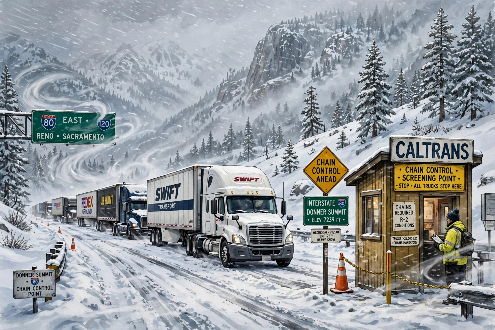
The Sierra storm CDLWire has tracked since the weekend is no longer a forecast: it is the weather over Donner Summit this morning, with trucks screened on the eastbound approach and the warning running into Friday, according to Caltrans on Nov. 18.
Caltrans' highway report for Interstate 80, as of 4:59 a.m. Pacific on Wednesday, Nov. 18, says eastbound trucks are being screened at Applegate in Placer County, drivers must have maximum chains in their possession in order to proceed, and permit loads are prohibited. That is a return to screening after Tuesday afternoon's lull, when Caltrans reported no traffic restrictions in the Northern California area and Sierra Nevada and the morning chain controls were lifted. The same Wednesday report also carries a high wind advisory at the San Francisco-Oakland Bay Bridge, where travel is not recommended for campers, trailers or permit loads — a reminder that this system is a wind event on the valley and Bay side as well as a snow event on the crest.
The warning behind the screening is unchanged in its totals and its clock, and that stability is itself the news after three days of rising forecasts. The National Weather Service in Sacramento, in its Winter Storm Warning message issued at 1:16 a.m. Pacific on Wednesday, Nov. 18, says the warning remains in effect until 4 a.m. Pacific on Friday for the northern Sierra above 4,000 feet, including Highway 50, Interstate 80, State Route 4, State Route 108 and the southern Cascades above 4,000 feet. Heavy snow is expected above 4,000 feet, with total accumulations of 2 to 4 feet above 5,000 feet and up to 5 feet at the highest peaks, up to 20 inches between 4,000 feet and 5,000 feet, and a dusting to a few inches possible as low as 3,500 feet. Winds are gusting as high as 60 mph.
Today is the storm's main day, on the Weather Service's own timing. Snow levels were 3,500 to 4,500 feet early this morning, rising to around 4,000 to 5,500 feet by mid-morning, and the heaviest snow is expected this morning into the afternoon hours, with snowfall rates of 1 to 2 or more inches per hour. Travel could be very difficult to impossible, the warning says, the hazardous conditions will impact the morning and evening commutes, and gusty winds could bring down tree branches and cause significant reductions in visibility. The Reno office's warning for the Greater Lake Tahoe Area, issued at 2:58 a.m. Pacific on Wednesday, carries the same Friday 4 a.m. end, with 2 to 4 feet above 7,000 feet, 1 to 2 feet around lake level, wind gusts of 30 to 40 mph for Truckee and Lake Tahoe communities and ridgetop gusts as high as 100 mph.
The sequence matters for reading this morning's road report correctly. On Monday, chain controls covered both directions over the summit. On Tuesday morning they widened to the Nevada state line, then lifted entirely for the afternoon lull. The warning opened at 10 p.m. Tuesday, and by 4:59 a.m. Wednesday the eastbound screening at Applegate was back, with maximum chains required in possession and permit loads prohibited again. A corridor that has moved from controlled, to unrestricted, to screened again inside three days is telling drivers the same thing in each state: conditions on this crossing are being set hour by hour by the storm, not by the calendar, and a report read at breakfast is not a promise about the afternoon.
Nor is Interstate 80 the only freight route in the warning. Highway 50 over Echo Summit, State Route 4, State Route 108 and the southern Cascades crossings are all inside the same Sacramento warning, and the Coast Range and Shasta County mountains carry their own warning through 4 a.m. Thursday, with 10 to 15 inches expected and 24 to 30 inches possible along the highest peaks. A driver diverted off Donner does not divert out of this system; the alternatives cross the same mountains under the same storm.
The practical plan is the one the last three editions have built toward, now with no staging window left in it. If you are eastbound toward the Sierra this morning, maximum chains in possession is the price of passing Applegate, permit loads do not pass at all, and the heaviest snow of the storm is falling today at rates that can change a controlled crossing into a closed one between checks. If you have not yet committed to the crossing, the warning runs to 4 a.m. Friday and the Weather Service's own language is very difficult to impossible at times — staging on the side you are on, and checking the Caltrans highway report again before rolling, is the conservative and correct call. The next decision point is Friday morning, when the warning expires.
Source: Caltrans
Image: Illustration: AI-generated by CDLWire
Sources
Related coverage
 November 17, 2026 · Road conditionsChain controls widen to the Nevada state line on I-80 Tuesday — and the warned storm arrives tonight
 November 16, 2026 · Road conditionsChain controls are back on Donner for Monday — trucks screened at Applegate and Mogul, permit loads prohibited, with the midweek watch opening Tuesday night
 November 15, 2026 · Road conditionsThe Sierra's midweek storm roughly doubles overnight: 90% to 100% odds of at least 24 inches above 5,000 feet
Comments
Loading comments…