Sierra storm, day two: westbound I-80 still closed to all semis, chains now run to the Nevada line, 8 to 12 more inches due today
Caltrans' Thursday 5 a.m. report keeps westbound Interstate 80 closed to all tractor-semitrailer combinations at the Nevada State Line and eastbound doubles restrictions at Applegate, extends the chain requirement from Gold Run all the way to the state line, and the Weather Service expects the heaviest snow again this morning into the afternoon — an additional 8 to 12 inches above 4,000 feet before the warning expires at 4 a.m. Friday.
Summarized from Caltrans.
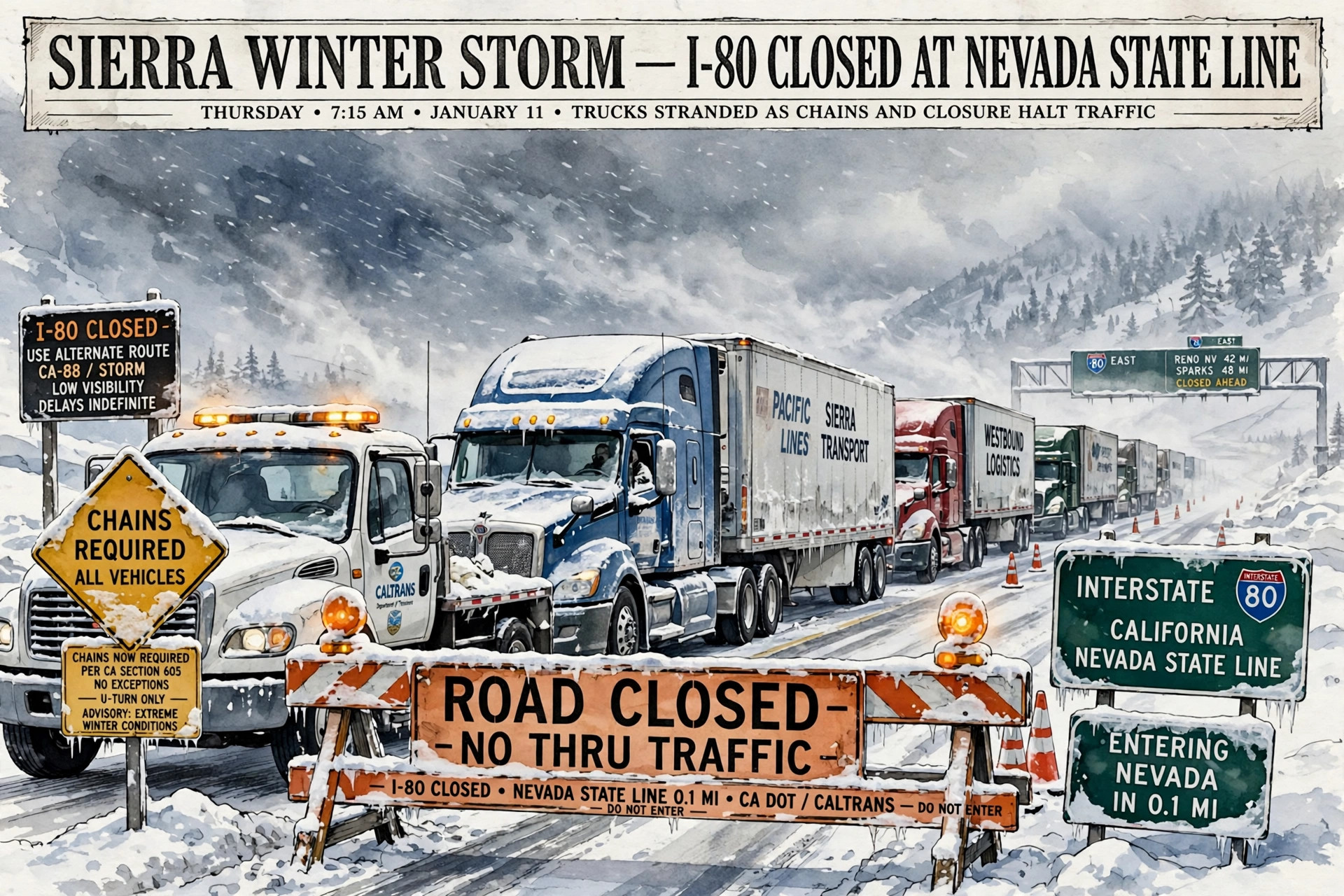
The Sierra storm is in its second full day over Donner Summit, and the truck closures that built through Wednesday have held into Thursday morning with the chain line extended to the Nevada border, according to Caltrans on Nov. 19.
Caltrans' highway report for Interstate 80, as of 5:00 a.m. Pacific on Thursday, Nov. 19, closes westbound Interstate 80 to all tractor-semitrailer combinations at the Nevada State Line, due to spinouts, and advises all of them to use an alternate route — the same full westbound truck closure the corridor reached on Wednesday afternoon. Eastbound, the highway is closed at Applegate to single drive axle tractor-semitrailers towing double trailers, also due to spinouts, with those combinations advised to use an alternate route. That eastbound wording is narrower than a blanket doubles ban and worth reading exactly: the closure names single drive axle tractors pulling doubles.
For the traffic still moving, the chain requirement grew overnight. Chains are now required on all vehicles except 4-wheel-drive vehicles with snow tires on all 4 wheels from 3.4 miles east of Gold Run to the Nevada State line. On Wednesday afternoon the chained segment ran from Gold Run to Truckee; Thursday's report extends its eastern end across the summit to the state line itself, which means there is no longer an unchained portion of the California crossing for a driver who gets through the control point. The same report carries high wind advisories at the San Francisco-Oakland Bay Bridge and from the Solano/Yolo County line to the Yolo/Sacramento County line, where travel is not recommended for campers, trailers or permit loads.
The snow behind the closures is not finished. The National Weather Service in Sacramento, in its Winter Storm Warning message issued at 3:53 a.m. Pacific on Thursday, Nov. 19, keeps the warning in effect until 4 a.m. Pacific on Friday for the northern Sierra above 4,000 feet, including Highway 50, Interstate 80, State Route 4, State Route 108 and the southern Cascades. Additional snow accumulations of 8 to 12 inches are expected above 4,000 feet, with up to 18 inches over the highest peaks, and a dusting to a few inches is possible as low as 3,500 feet. Winds are gusting as high as 40 mph. Snow levels are around 4,000 to 5,500 feet, lowering briefly down to around 3,500 feet early Friday morning, and the heaviest snow is expected this morning into the afternoon hours, with snowfall rates of 1 to 2 or more inches per hour. Travel could be very difficult to impossible, the warning says, and the hazardous conditions will impact the morning and evening commutes.
On the Nevada side of the crest the remaining storm is larger still. The Weather Service in Reno, in its warning message issued at 1:40 a.m. Pacific on Thursday, expects additional snow accumulations of 15 to 30 inches above 7,000 feet and 8 to 14 inches around lake level in the Greater Lake Tahoe Area, with wind gusts of 30 to 45 mph for Truckee and Lake Tahoe communities and ridgetop gusts as high as 100 mph. A truck that clears the California chain line westbound — if the closure lifts — meets that Tahoe basin weather on the descent, and an eastbound truck stopped at the state line is stopped in front of it.
The week's sequence is now the context every driver on this corridor should carry. Chain controls opened the week on Monday, widened to the state line on Tuesday, lifted for Tuesday afternoon's lull, and returned as screening when the warned storm arrived Wednesday morning. By Wednesday afternoon spinouts had closed the westbound crossing to every tractor-semitrailer combination and the eastbound crossing to doubles, and Thursday morning opens with those closures intact, a longer chain segment, and the storm's second heaviest-snow day still ahead. Nothing in Thursday's forecast is a wind-down until the warning expires at 4 a.m. Friday.
The practical plan follows from that sequence. Westbound, no tractor-semitrailer combination is being allowed through at the Nevada State Line in the 5 a.m. report at all — that is a closure to wait out on the Nevada side, not a control to chain up for. Eastbound, single drive axle tractors towing doubles are closed out at Applegate, and every other vehicle runs on chains from Gold Run to the state line. With 8 to 12 more inches expected above 4,000 feet today at rates of 1 to 2 or more inches an hour, a status read this morning can be overtaken by spinouts and new closures by afternoon, as it was on Wednesday. Check the Caltrans highway report again before rolling in either direction, and treat Friday morning — after the 4 a.m. warning expiration — as the next genuine decision point.
Source: Caltrans
Image: Illustration: AI-generated by CDLWire
Sources
Related coverage
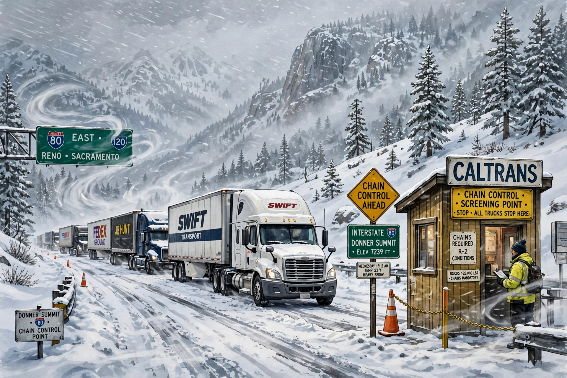 November 18, 2026 · Road conditionsThe warned Sierra storm is here: heaviest snow today on I-80, trucks screened at Applegate, warning runs to Friday 4 a.m.
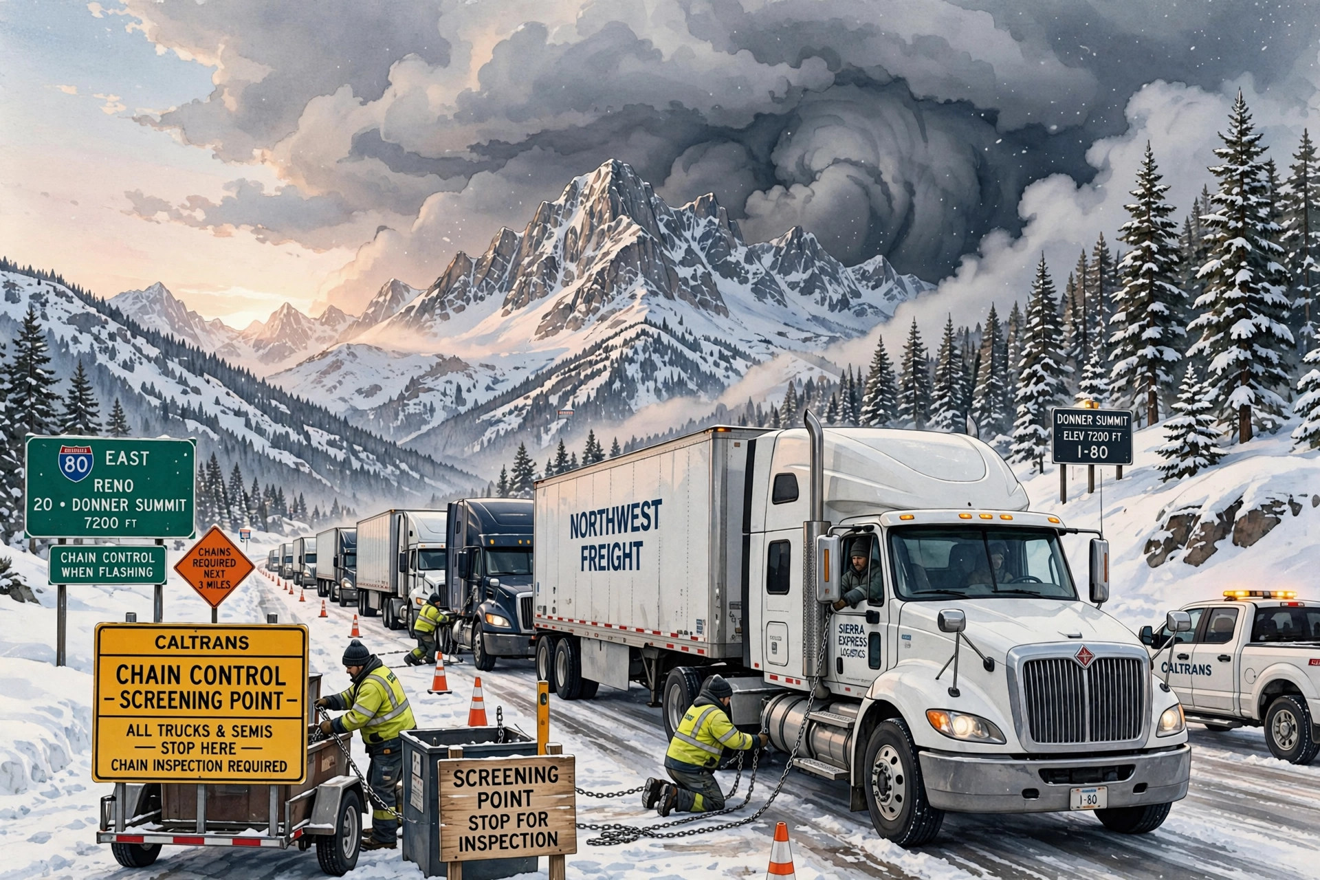 November 17, 2026 · Road conditionsChain controls widen to the Nevada state line on I-80 Tuesday — and the warned storm arrives tonight
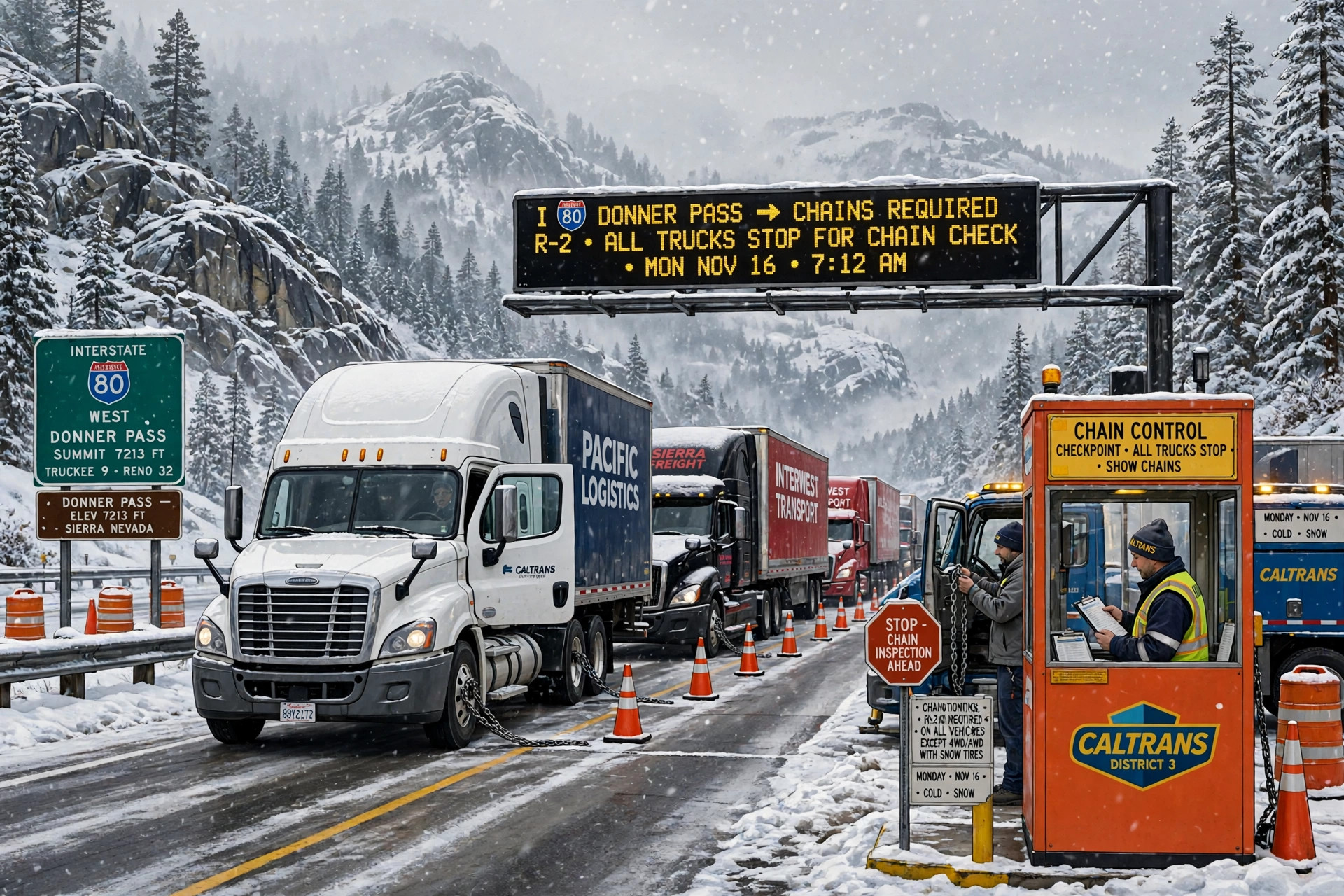 November 16, 2026 · Road conditionsChain controls are back on Donner for Monday — trucks screened at Applegate and Mogul, permit loads prohibited, with the midweek watch opening Tuesday night
Comments
Loading comments…