Sierra warnings are up — up to 24 inches and 90 mph ridge gusts Friday into Saturday — as the season's first widespread Northeast snow and a Rockies storm join the map
Winter storm warnings have replaced the watches for the Sierra Nevada, with up to 12 inches above 6,000 feet on Interstate 80 and Highway 50 and as much as 24 inches on the highest peaks. The Weather Prediction Center's Nov. 12 discussion adds the first widespread accumulating snowfall of the season for the Northeast's high elevations, a Huron Mountains chance of more than 12 inches, and a new northern and central Rockies storm for Friday night into Saturday.
Summarized from National Weather Service.
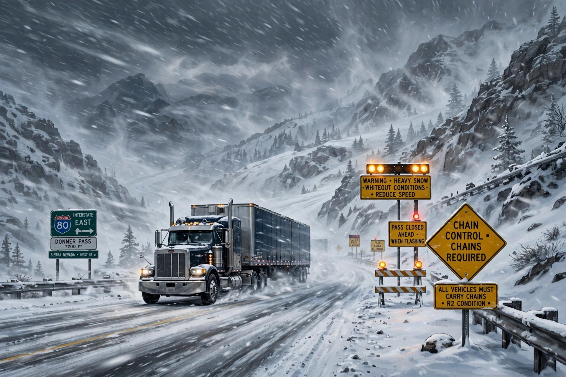
Image: Illustration: AI-generated by CDLWire
The forecast CDLWire carried on Wednesday as a probabilistic outlook is now a set of winter storm warnings for the Sierra Nevada, and the map around it has grown: the National Weather Service's Weather Prediction Center, in its discussion issued on Nov. 12, calls for the first widespread accumulating snowfall of the season across the higher elevations of the Northeast late today through Saturday morning, keeps heavy lake-effect snow running in Michigan's Upper Peninsula, adds a new mountain-snow section for the northern and central Rockies, and holds the Sierra storm at snowfall rates that could reach 2 to 3 inches an hour on Friday afternoon.
The warnings take the place of the earlier winter storm watches, according to Autoblog on Nov. 12, summarizing the National Weather Service warnings: the Sacramento office's winter storm warning for the Northern Sierra above 6,000 feet covers Interstate 80, Highway 50 and Lassen Volcanic National Park, with up to 12 inches expected and as much as 24 inches on the highest peaks, gusts to 60 mph, and snow levels dropping to 5,500 to 6,500 feet by Saturday morning. Mono County is in for 12 to 24 inches above 7,000 feet, with gusts of 45 to 55 mph along Highway 395.
The Weather Prediction Center's own numbers explain the warnings. Heavy upslope snow runs Friday afternoon into early Saturday morning at rates the center's snowband tool suggests could reach 2 to 3 inches an hour, with probabilities over 50% for at least 8 inches above 6,500 to 7,000 feet and for at least 12 inches above 7,000 to 7,500 feet, and a 30 to 50% probability of at least 24 inches at the higher elevations.
The Northeast piece is entirely new since Wednesday. A double-barrelled low pressure system skirting south of New England brings rain as far north as central New England and coastal Maine on Thursday, with a rain-and-snow mix in the highest elevations of the Adirondacks while snow levels sit at 1,500 to 2,000 feet. As a secondary low develops off the New Jersey coast, cold advection lowers the snow levels until even the valleys may receive some light accumulating snowfall on Friday morning. A band pivoting from the Catskills and Poconos across eastern Upstate New York into southern Vermont and New Hampshire could produce snowfall rates of 1 inch an hour; valley accumulations stay modest, but the most significant snowfall, with a 50 to 80% chance of exceeding 4 inches, is across the Catskills, Adirondacks and Greens.
In the Great Lakes, the lake-effect engine is still running and the high end has risen: air at about 850 millibars drops to between minus 5 and minus 10 degrees Celsius over lakes still at 8 to 12 degrees on Superior and 10 to 15 degrees on Michigan. The immediate shorelines will likely see mainly rain or a mix, but multi-banded snow runs through the period in Michigan's Upper Peninsula, where the probability of more than 12 inches is 30 to 50% in the higher elevations of the Huron Mountains. Where a single band pivots south of Lake Michigan into far northeast Illinois and northwest Indiana, across the northwestern Lower Peninsula near Traverse City, or across the rest of the Upper Peninsula, lake-effect snow has a 30 to 60% chance of producing at least 4 inches — bands narrow enough that conditions can change within a few miles.
The central Appalachians keep their event, at slightly eased odds: upslope flow and Great Lakes moisture bring snow especially above 2,000 feet in West Virginia and 3,000 feet along the Tennessee and North Carolina border, with the probability of at least 4 inches at 40 to 60% and difficult driving likely in the heavy, wet snow. The new section is the northern and central Rockies, where a trough crossing the Great Basin and Intermountain West Friday night into Saturday, fed by a remnant atmospheric river, produces widespread mountain snow: snow levels start above 8,000 to 9,000 feet and fall to 6,000 to 7,000 feet across the northern Rockies during Saturday into Sunday, and the probability of at least 4 inches is at least 60% for the south-central Idaho mountains, as high as 80% across Utah's Wasatch and Uintas ranges, and nearly 100% across Colorado's San Juan Mountains, where the probability of at least 8 inches is over 50%.
The probability of significant ice anywhere in the contiguous United States is less than 10%, so this remains a snow, wind and timing problem rather than an icing problem. The practical sequencing for freight is now a matter of posted warnings, not probabilities: a Sierra crossing that can be made before Friday afternoon, or held until the Saturday-afternoon lull, avoids the 2-to-3-inch-an-hour rates and the near-whiteout conditions the warning offices expect at the passes on Friday night, and a load that cannot do either should be planned around chain controls and pass closures on Interstate 80 and Highway 50 rather than around the forecast totals. In the Northeast, the risk window is Thursday night into Friday morning on high-terrain routes, where wet, heavy snow at elevation can sit over rain in the valleys below. And in the Upper Peninsula, check the local National Weather Service office and state 511 before rolling: the difference between pavement and a foot of snow this weekend is which side of a lake band the route runs on.
Sources
Related coverage
 November 11, 2026 · Weather and roadsLake-effect snow, Appalachian upslope snow and a Sierra storm line up for Nov. 11-14
 November 9, 2026 · Weather and roadsSouth Texas rain peaks and turns: 5 to 10 inches fell near Kingsville, one more round Monday, and the heavy rain ends by evening
 November 9, 2026 · Weather and roadsAlaska storm Monday: 8 to 12 inches on the Haines Highway at the border, and snow, freezing rain and 60 mph gusts for Anchorage's evening commute
Comments
Loading comments…